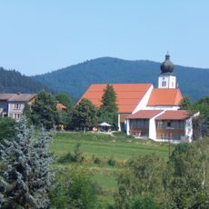
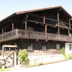
Dreitannenriegel, Mountain viewpoint in Grafling, Germany.
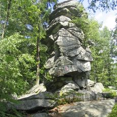
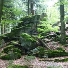
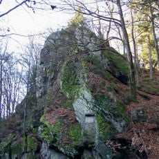
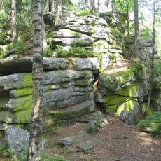
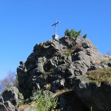
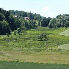
Dreitannenriegel is a mountain viewpoint in the Bavarian Forest standing at about 1090 meters with gneiss rock formations visible across its slopes. Multiple marked hiking trails radiate from the area, connecting to nearby villages and offering walkers various route options through forested terrain.
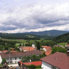
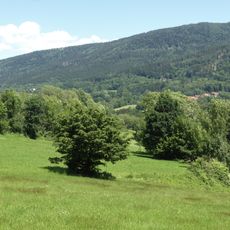
The area became part of the Naturpark Bayerischer Wald protection program, which established its role in conserving Lower Bavaria's natural environment. This designation has helped maintain the mountain and its surroundings as an important natural space for the region.
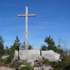
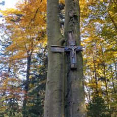
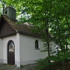
The summit cross and surrounding paths draw hikers from the region who come to experience the landscape together. These trails connect local communities and serve as gathering points where visitors share in the mountain experience.
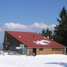
The climb from Mietraching follows marked trails and takes about 45 minutes with proper hiking boots as a necessity. The path crosses varying terrain, so sturdy footwear helps ensure a safe and comfortable walk.
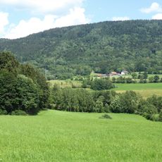
On clear autumn days, visitors standing at the summit cross can see all the way to the Alpine foothills, creating an expansive distant view. These far-reaching perspectives happen only in certain weather conditions and make the climb feel rewarding.
The community of curious travelers
AroundUs brings together thousands of curated places, local tips, and hidden gems, enriched daily by 60,000 contributors worldwide.