
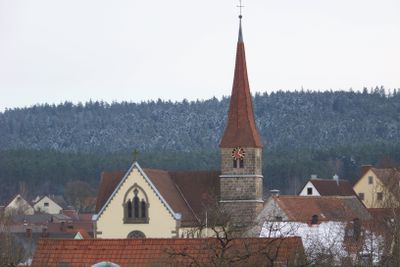
Mitteleschenbach, municipality of Germany
Location: Ansbach
Elevation above the sea: 407 m
Part of: Verwaltungsgemeinschaft Wolframs-Eschenbach
Shares border with: Windsbach, Muhr am See
Website: https://mitteleschenbach.de
GPS coordinates: 49.21667,10.76667
Latest update: March 12, 2025 17:29

Jagdschloss Georgenthal
3.2 km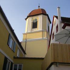
St. Margareta
5.5 km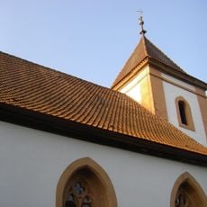
Gottesruhkapelle
4.6 km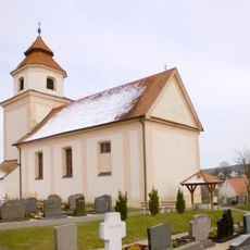
St. Walburga
2.2 km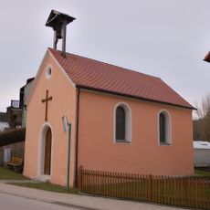
Zum Gekreuzigten Heiland (Gersbach)
3.2 km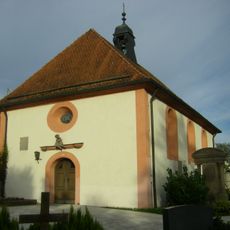
Christenruhkapelle
5.4 km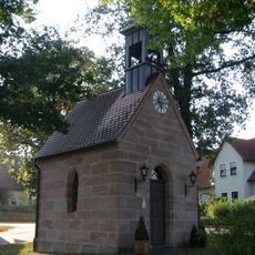
St. Marien (Winkelhaid)
5.1 km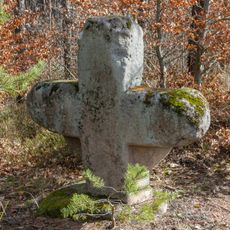
Steinkreuz bei Obererlbach 2
5.6 km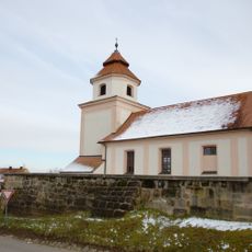
Katholische Kirche St. Walburg
2.2 km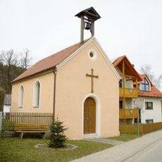
Kapelle zum Gekreuzigten Heiland
3.2 km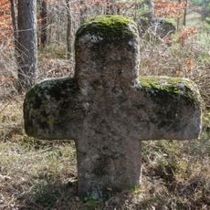
Steinkreuz bei Obererlbach 3
5.6 km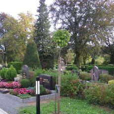
Friedhof Windsbach
5.4 km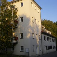
Obere Vorstadt 27
5.3 km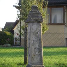
Bildstock
4.8 km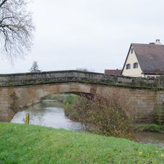
Markgrafenbrücke
5.3 km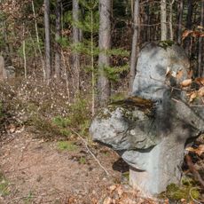
Steinkreuze bei Obererlbach
5.5 km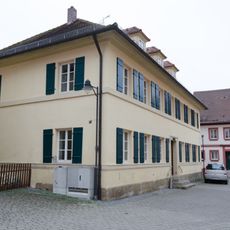
Kirchplatz 2
5.5 km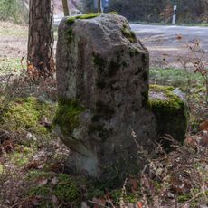
Steinkreuz bei Obererlbach 1
5.5 km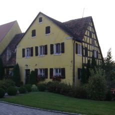
Wohnstallhaus mit Scheune
4.6 km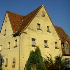
Ehemaliges Hopfenbauernhaus mit Scheune
5.8 km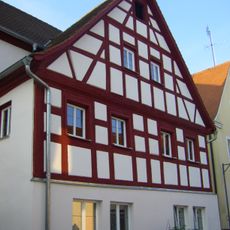
Kirchplatz 3
5.5 km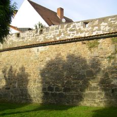
Kolbenstraße 2, 2a
5.4 km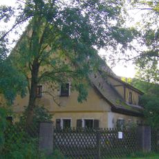
Wohnstallhaus
5.5 km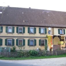
Bauernhaus
5.3 km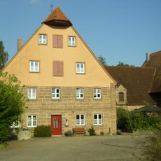
Bauernhaus mit Nebengebäude
5.3 km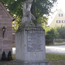
Kriegerdenkmal für den Ersten Weltkrieg
5.1 km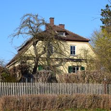
Forsthaus
2.7 km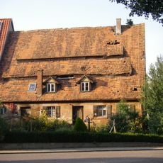
Wohnstallhaus
5 kmVisited this place? Tap the stars to rate it and share your experience / photos with the community! Try now! You can cancel it anytime.
Discover hidden gems everywhere you go!
From secret cafés to breathtaking viewpoints, skip the crowded tourist spots and find places that match your style. Our app makes it easy with voice search, smart filtering, route optimization, and insider tips from travelers worldwide. Download now for the complete mobile experience.

A unique approach to discovering new places❞
— Le Figaro
All the places worth exploring❞
— France Info
A tailor-made excursion in just a few clicks❞
— 20 Minutes