
Insingen, municipality of Germany
Location: Ansbach
Elevation above the sea: 399 m
Part of: Verwaltungsgemeinschaft Rothenburg ob der Tauber
Website: http://insingen.de
GPS coordinates: 49.30278,10.16444
Latest update: March 10, 2025 08:24
Ehemaliges Jagdschloss
3.9 km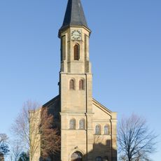
St. Egydius
3 km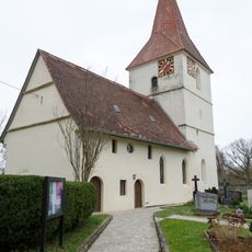
St. Wendel und Hl. Kreuz
5 km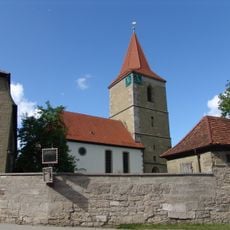
St. Ulrich und Sebastian
56 m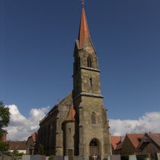
St. Bartholomäus
1.8 km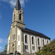
St. Nikolaus
3.7 km
Gutshof Burgstall, Rothenburg ob der Tauber, Gebäude
5.8 km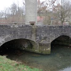
Bettenfeld, Schandtauberbrücke
5.1 km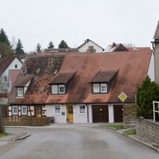
Ehemaliges Wohnstallhaus
147 m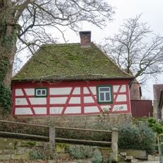
Ehemaliges Backhäuschen
83 m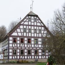
Bettenfeld 12
4.9 km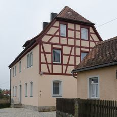
Bettenfeld 23, Nebengebäude
5 km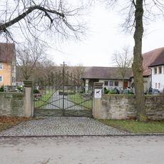
Friedhofsmauer
2.8 km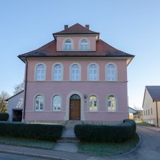
Ehemaliges Lehrerwohnhaus und Schule
3 km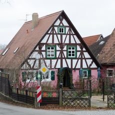
Wohnhaus
55 m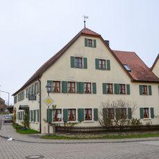
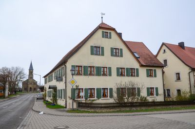
Gasthof Zum Ross
2.9 km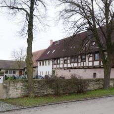
Ehemaliges Pfarrhaus, jetzt Doppelwohnhaus
2.8 km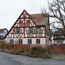
Ehemaliges Wohnstallhaus
173 m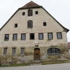
Ehemaliges Gasthaus Zum Weißen Ross
79 m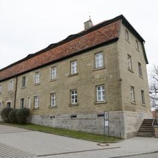
Ehemaliges Schulhaus, jetzt Pfarrzentrum
67 m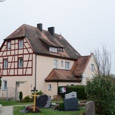
Bettenfeld 23, Pfarrhof
5 km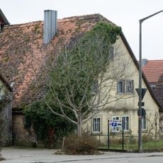
Wohnstallhaus
28 m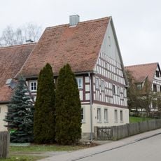
Ehemaliges Wohnstallhaus
147 m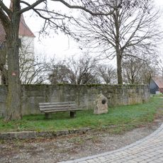
Bettenfeld 31, Friedhofsmauer
5 km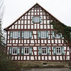
Ehemaliges Wohnstallhaus
186 m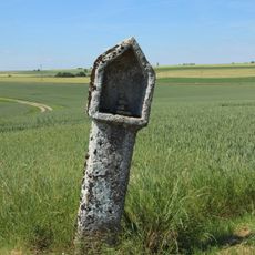
Gutshof Burgstall, Rothenburg ob der Tauber, Bildstock
6.1 km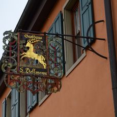
Diebacher Straße 7
217 m
Gutshof Burgstall 1
5.8 kmVisited this place? Tap the stars to rate it and share your experience / photos with the community! Try now! You can cancel it anytime.
Discover hidden gems everywhere you go!
From secret cafés to breathtaking viewpoints, skip the crowded tourist spots and find places that match your style. Our app makes it easy with voice search, smart filtering, route optimization, and insider tips from travelers worldwide. Download now for the complete mobile experience.

A unique approach to discovering new places❞
— Le Figaro
All the places worth exploring❞
— France Info
A tailor-made excursion in just a few clicks❞
— 20 Minutes