
Oberneukirchen, municipality of Germany
Location: Mühldorf
Elevation above the sea: 461 m
Area: 19.59 km²
Part of: Verwaltungsgemeinschaft Polling
Shares border with: Kraiburg, Polling
Website: http://oberneukirchen.de
GPS coordinates: 48.18333,12.51667
Latest update: March 12, 2025 06:36
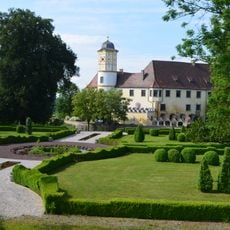
Schloss Guttenburg
4 km
Burgstall Kraiburg
6.6 km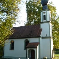
Wallfahrtskirche Hl. Mutter Anna
5.1 km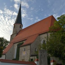
Katholische Filialkirche St. Stephan
4.7 km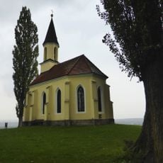
Gelöbniskapelle
6.6 km
St. Andreas
7.7 km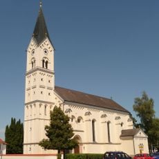
St. Nikolaus
7.7 km
Mörmoosen
5.3 km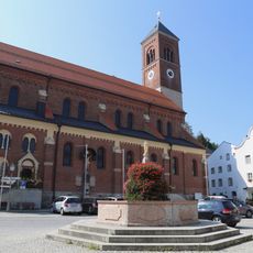
St. Bartholomäus
6.5 km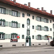
Mietshaus
7.6 km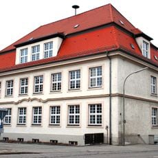
Schulhaus
7.5 km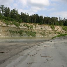
Prallhang des Inns NE von Heisting
3.7 km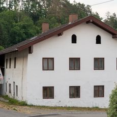
Ehemaliges Wohnstallhaus
4.9 km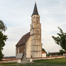
St. Martin
4.9 km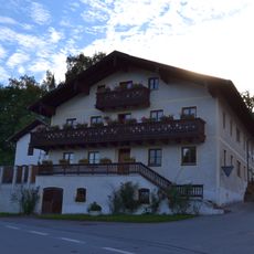
Bundwerkstadel am Kirchberg Mörmoosen
5.4 km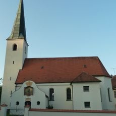
St. Leonhard
2.7 km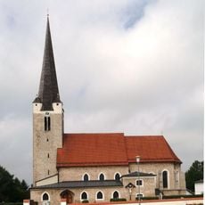
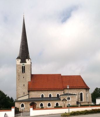
Sankt Margaretha
1.1 km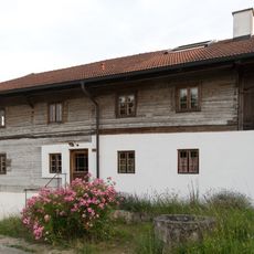
Mitterstallhaus
4.8 km
Hütte eines ehemaligen Dreiseithofs
4.7 km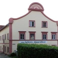
Stattliches Wohnhaus
6.6 km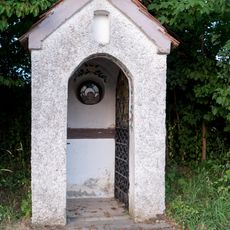
Feldkapelle
5.4 km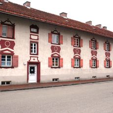
Mietshaus
7.5 km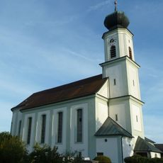
St. Johannes der Täufer
4 km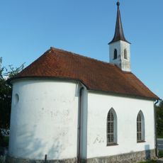
St. Laurentius
3.9 km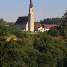
Mariä Himmelfahrt
6.2 km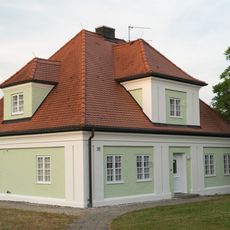
Ehemaliges Pfarrhaus
4.9 km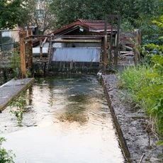
Mittermühlbach
6.4 km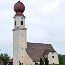
Mariä Heimsuchung
4.6 kmVisited this place? Tap the stars to rate it and share your experience / photos with the community! Try now! You can cancel it anytime.
Discover hidden gems everywhere you go!
From secret cafés to breathtaking viewpoints, skip the crowded tourist spots and find places that match your style. Our app makes it easy with voice search, smart filtering, route optimization, and insider tips from travelers worldwide. Download now for the complete mobile experience.

A unique approach to discovering new places❞
— Le Figaro
All the places worth exploring❞
— France Info
A tailor-made excursion in just a few clicks❞
— 20 Minutes