
Lohkirchen, municipality of Germany
Location: Mühldorf
Elevation above the sea: 490 m
Area: 14.88 km²
Website: http://www.lohkirchen.de
Part of: Verwaltungsgemeinschaft Oberbergkirchen
Website: http://lohkirchen.de
GPS coordinates: 48.31667,12.45000
Latest update: March 11, 2025 07:08
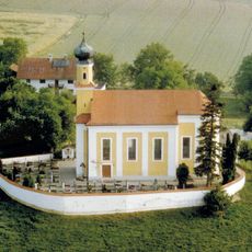
St. Peter und Paul (Palmberg)
5.5 km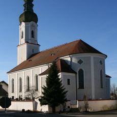
St. Michael (Mettenheim)
5.7 km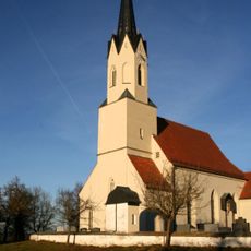
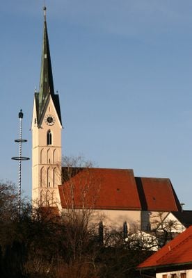
St. Rupert
3.2 km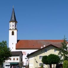
Sankt Margaretha
7.2 km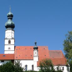
St. Bartholomäus
4.9 km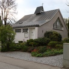
Evang.-Luth. Friedenskirche
6.2 km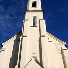
Sankt Josef
5 km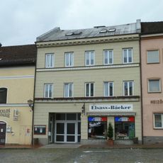
Wohn- und Geschäftshaus, sogenanntes Seiler Maier-Haus
6.5 km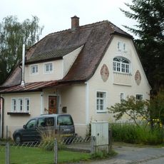
Wohnhaus
6.2 km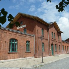
Station building at Neumarkt-St. Veit station
6.3 km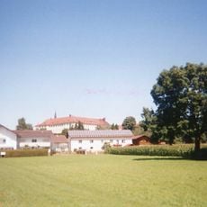
Ehemaliges Schloss Zangberg, seit 1862 Kloster St. Joseph der Salesianerinnen
5 km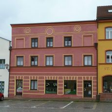
Metzgerei und Wohnhaus
6.5 km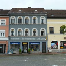
Eisenhandlung
6.5 km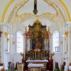
St. Pankratius
4.4 km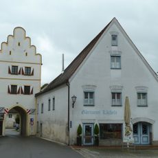
Unteres Tor
6.5 km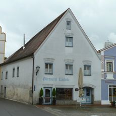
Ehemaliges Rathaus
6.5 km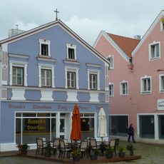
Wohn- und Geschäftshaus
6.5 km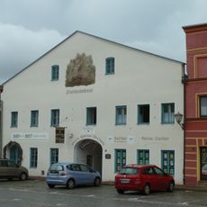
Ehemalige Brauerei Fruhmann
6.5 km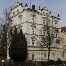
Wohnhaus
6.5 km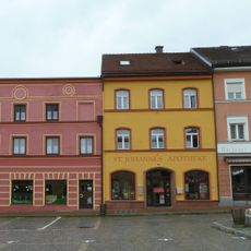
Apotheke, sogenannte St. Johannes-Apotheke
6.5 km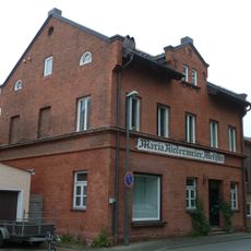
Wohn- und Geschäftshaus
6.4 km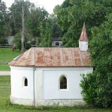
Brauereigasthof Genossenschaft
6.5 km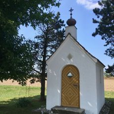
Kapelle Lochheim
5.9 km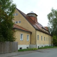
Ehemaliges Baywa-Lagerhaus
6.4 km
Ehemaliger herzoglicher Zehentkasten
6.4 km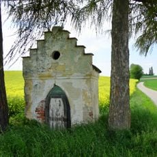
Wegkapelle
5.6 km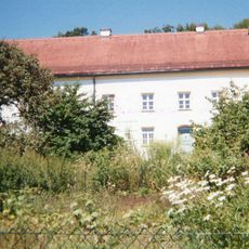
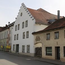
Ehemaliges Benefiziatenhaus, sogenanntes Oberes Schloss, jetzt Pfarrhaus
6.6 kmReviews
Visited this place? Tap the stars to rate it and share your experience / photos with the community! Try now! You can cancel it anytime.
Discover hidden gems everywhere you go!
From secret cafés to breathtaking viewpoints, skip the crowded tourist spots and find places that match your style. Our app makes it easy with voice search, smart filtering, route optimization, and insider tips from travelers worldwide. Download now for the complete mobile experience.

A unique approach to discovering new places❞
— Le Figaro
All the places worth exploring❞
— France Info
A tailor-made excursion in just a few clicks❞
— 20 Minutes