
Oberhausen, municipality in the district of Weilheim-Schongau, Upper Bavaria, Germany
Location: Weilheim-Schongau
Elevation above the sea: 611 m
Part of: Huglfing
Shares border with: Huglfing, Polling
Website: http://oberhausen-obb.de
GPS coordinates: 47.78333,11.13333
Latest update: March 6, 2025 13:01


Stoa 169
2.8 km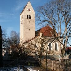
St. Magnus (Huglfing)
2.7 km
Burgstall Willenberg
2.8 km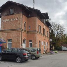
Bahnhof Huglfing
909 m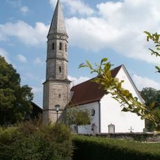
St. Michael (Berg)
596 m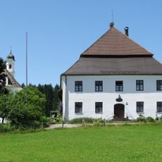
Gut Grasleiten
4.9 km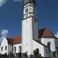
St. Mauritius
894 m
Museum Polling
3.1 km
Kapelle Heilig Kreuz
5 km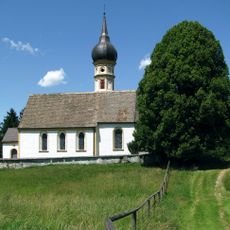
Kirche St. Nikolaus
3.8 km
Bildstock
2.5 km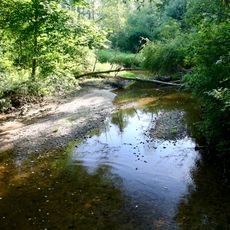
Bachlauf der Eyach im Mündungsbereich
2.3 km
Ehemaliger Klostergasthof
3.1 km
Riebl
2.7 km
Deinler
2.6 km
Bildstock
899 m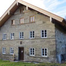
Kristl
2.4 km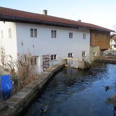
Geißler Bader
2.6 km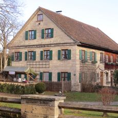
Weber
2.7 km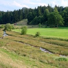
Quellaustritt S von Etting
2.8 km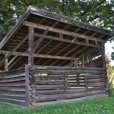
Feldstadel
4.6 km
St. Johannes d. T.
2.6 km
Kaufhauser
2.6 km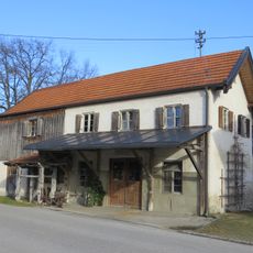
Pfandzelter
2.9 km
Ehem. Bierkeller (Polling)
2.4 km
Ehemaliges Richterhaus
3.1 km
Wiestaler
2.8 km
Gartenmauer
3 kmVisited this place? Tap the stars to rate it and share your experience / photos with the community! Try now! You can cancel it anytime.
Discover hidden gems everywhere you go!
From secret cafés to breathtaking viewpoints, skip the crowded tourist spots and find places that match your style. Our app makes it easy with voice search, smart filtering, route optimization, and insider tips from travelers worldwide. Download now for the complete mobile experience.

A unique approach to discovering new places❞
— Le Figaro
All the places worth exploring❞
— France Info
A tailor-made excursion in just a few clicks❞
— 20 Minutes