
Höhenland, municipality in Brandenburg state, Germany
Location: Märkisch-Oderland District
Elevation above the sea: 115 m
Shares border with: Falkenberg, Heckelberg-Brunow
Website: https://amt-fahoe.de/seite/373819/h%C3%B6henland.html
GPS coordinates: 52.70000,13.88306
Latest update: March 4, 2025 05:43
Harnekop Bunker
6.8 km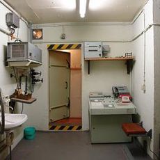
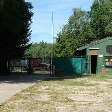
Bunker Wollenberg
7 km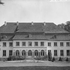
Schloss Harnekop
8.5 km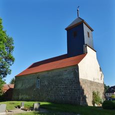
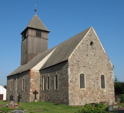
Village church Wollenberg
6.1 km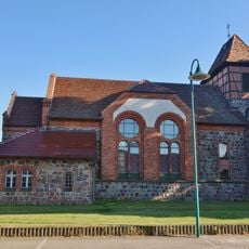
Village church Steinbeck
2.8 km
Heidekrug
6.1 km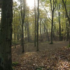
Blumenthal
5.8 km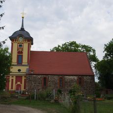
Village church Frankenfelde
11.1 km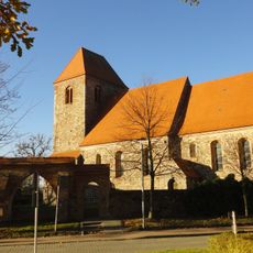
Village church Heckelberg
5.3 km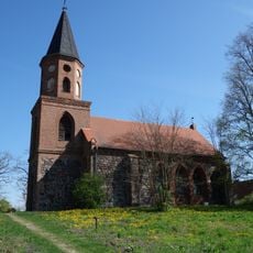
Village church Dannenberg/Mark
9.6 km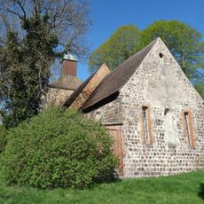
Church in Gersdorf
7.7 km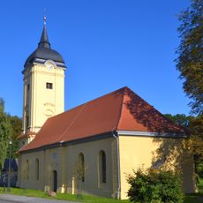
Village church Prötzel
9.9 km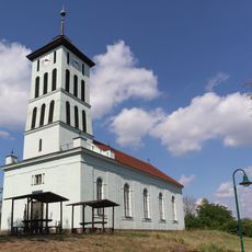
Village church Cöthen
11 km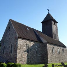
Church in Leuenberg
433 m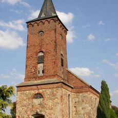
Church in Brunow
3.4 km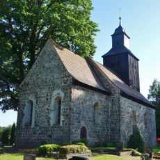
Village church Wölsickendorf
5.4 km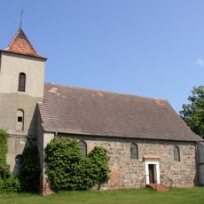
Church in Haselberg
10.3 km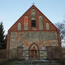
Harnekop church
8.7 km
Militärhistorisches Sonderobjekt 301 Wollenberg e.V.
7 km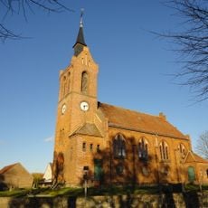
Dorfkirche Freudenberg
4.5 km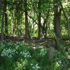
Leuenberger Soll
1.1 km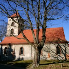
Village church Sternebeck
7.9 km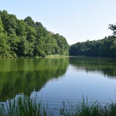
Gamengrund
1.1 km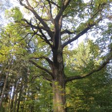
Naturdenkmal Trauben-Eiche ca. 200 m östlich vom Maxberg, an einer Waldweggabelung Abt. 354 in Hohenfinow
10.3 km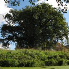
Naturdenkmal Stiel-Eiche Im Park von Haselberg
10.1 km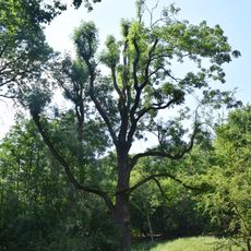
Gemeine Esche
3.4 km
Blumenthal
5.4 km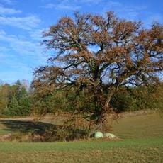
Naturdenkmal Huteeiche und Tränke Biesow Auf freiem Feld ca. 550 m nordöstlich von Biesow unmittelbar neben Kleingewässer in Prötzel
3.7 kmVisited this place? Tap the stars to rate it and share your experience / photos with the community! Try now! You can cancel it anytime.
Discover hidden gems everywhere you go!
From secret cafés to breathtaking viewpoints, skip the crowded tourist spots and find places that match your style. Our app makes it easy with voice search, smart filtering, route optimization, and insider tips from travelers worldwide. Download now for the complete mobile experience.

A unique approach to discovering new places❞
— Le Figaro
All the places worth exploring❞
— France Info
A tailor-made excursion in just a few clicks❞
— 20 Minutes