
Oberhain, former municipality of Germany
Location: Königsee
Elevation above the sea: 570 m
Website: http://mittleres-schwarzatal.de
GPS coordinates: 50.62911,11.12118
Latest update: March 3, 2025 00:49
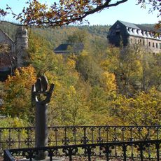
Schloss Schwarzburg
5.2 km
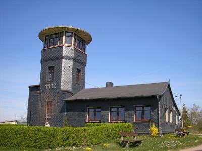
Barigauer Turm
1 km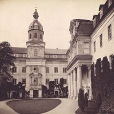
Schlosskirche Schwarzburg
5.2 km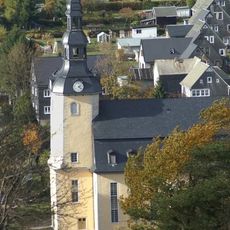
Hoffnungskirche
5.2 km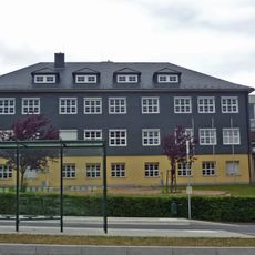
Fröbelschule (Oberweißbach)
5.4 km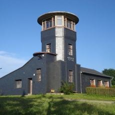
Barigauer Höhe
983 m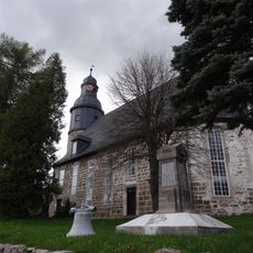
Kirche Zum Lamme Gottes
5.1 km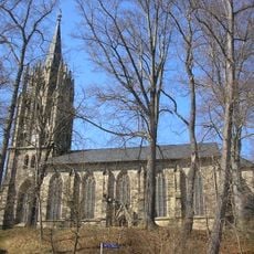
Protestant Church
4.1 km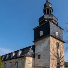
Dorfkirche Allendorf (Thüringen)
3.9 km
Goetheschule Königsee
3.9 km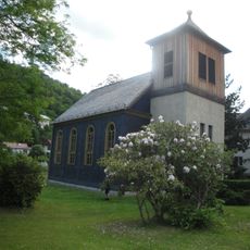
Talkirche Schwarzburg
5.4 km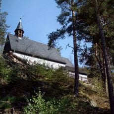
Bergkirche Sitzendorf
3.5 km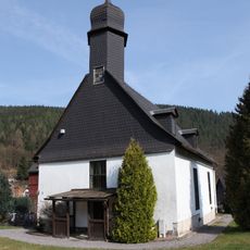
Dorfkirche Unterweißbach
3.6 km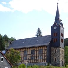
Protestant Church (Mellenbach)
3.6 km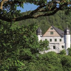
Fürstliche Erlebniswelten Schloss Schwarzburg
5.3 km
Ziegenberg
2.5 km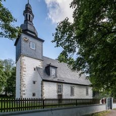
Kirche Egelsdorf
2.4 km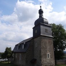
Saint Luke Church (Oberhain)
199 m
Memorial Museum Friedrich Fröbel
5.4 km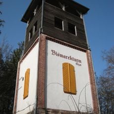
Bismarck Tower
3.4 km
Protestant Church (Unterköditz)
4.8 km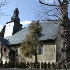
Protestant Church (Unterschöbling)
2.7 km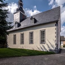
Protestant Church (Dörnfeld an der Heide)
5.1 km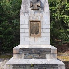
War memorial Leibis
2.4 km
War memorial Oberhain
134 m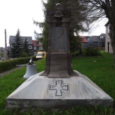
War memorial in Herschdorf, Großbreitenbach
5.1 km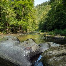
Schwarzatal ab Goldisthal mit Zuflüssen
3.2 km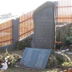
War memorial Unterhain
746 mVisited this place? Tap the stars to rate it and share your experience / photos with the community! Try now! You can cancel it anytime.
Discover hidden gems everywhere you go!
From secret cafés to breathtaking viewpoints, skip the crowded tourist spots and find places that match your style. Our app makes it easy with voice search, smart filtering, route optimization, and insider tips from travelers worldwide. Download now for the complete mobile experience.

A unique approach to discovering new places❞
— Le Figaro
All the places worth exploring❞
— France Info
A tailor-made excursion in just a few clicks❞
— 20 Minutes