
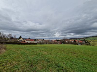
Aschenhausen, district of Kaltennordheim
Location: Kaltennordheim
Elevation above the sea: 525 m
Shares border with: Kaltensundheim, Rhönblick, Oberkatz, Kaltennordheim
Website: http://vgem-hoherhoen.de
GPS coordinates: 50.59841,10.20274
Latest update: March 12, 2025 10:31
Gebaberg
4.9 km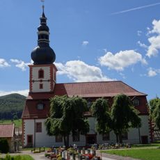
Dom der Rhön
4.6 km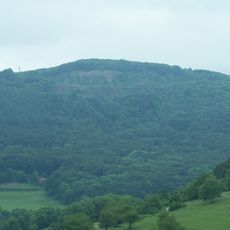
Umpfen-Berg
5.7 km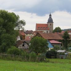
Protestant Church (Gerthausen)
3.1 km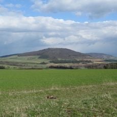
Diesburg
1.4 km
Merlinsburg
4.3 km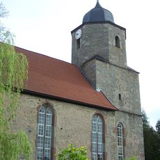
Protestant Church (Kaltenlengsfeld)
4.8 km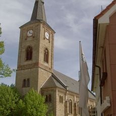
St.-Nikolai-Kirche
4.5 km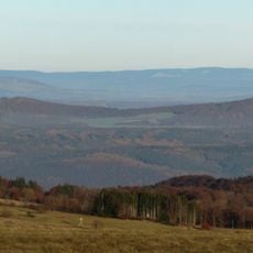
Hutsberg
6.1 km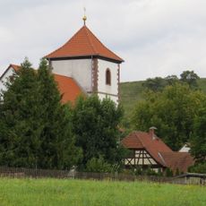
Protestant Church (Wohlmuthausen)
2.8 km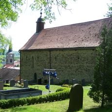
Kilianskirche
4.7 km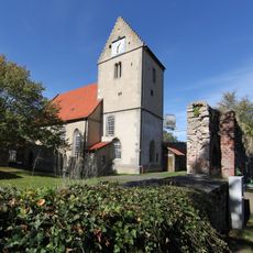
St. Albanus (Kaltensundheim)
3.2 km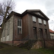
Former synagogue Aschenhausen
101 m
Dorfkirche Unterkatz
4.6 km
Protestant Church (Schafhausen)
3.7 km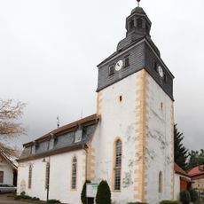
Dorfkirche Oberkatz
4.6 km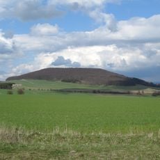
Leichelberg
1.1 km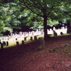
Jüdischer Friedhof
416 m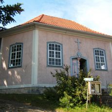
Protestant Church (Geba)
4.6 km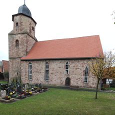
Dorfkirche Friedelshausen
7.1 km
Protestant Church (Oepfershausen)
5.6 km
St. Laurentius
6.1 km
Kirche
5.7 km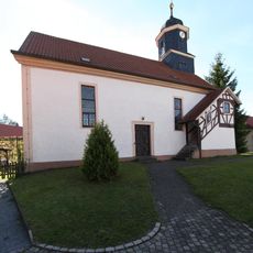
Protestant Church Reichenhausen
5.3 km
Protestant Church Aschenhausen
133 m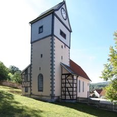
Protestant Church Erbenhausen
4.8 km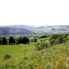
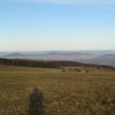
Thüringische Rhön
7 km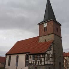
Protestant Church Mittelsdorf
5.1 kmVisited this place? Tap the stars to rate it and share your experience / photos with the community! Try now! You can cancel it anytime.
Discover hidden gems everywhere you go!
From secret cafés to breathtaking viewpoints, skip the crowded tourist spots and find places that match your style. Our app makes it easy with voice search, smart filtering, route optimization, and insider tips from travelers worldwide. Download now for the complete mobile experience.

A unique approach to discovering new places❞
— Le Figaro
All the places worth exploring❞
— France Info
A tailor-made excursion in just a few clicks❞
— 20 Minutes