
Marisfeld, municipality in Thuringia, Germany
Location: Landkreis Hildburghausen
Elevation above the sea: 380 m
Shares border with: Dillstädt, Oberstadt, Schmeheim
Website: http://vg-feldstein.de
GPS coordinates: 50.55663,10.57217
Latest update: April 2, 2025 06:48
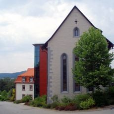
Kloster Rohr
4.7 km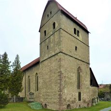
Michaeliskirche Rohr
5.7 km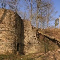
Osterburg castle ruin
4.3 km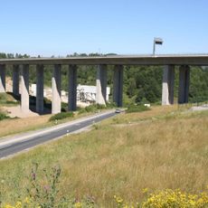
Talbrücke Schindgraben
6.7 km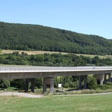
Talbrücke Haseltal
6.9 km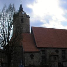
St Bartholomew's Church
6.8 km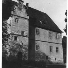
Hinteres Schloss Henfstädt
4.6 km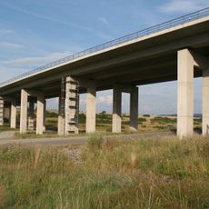
Talbrücke Rotes Tal
6.8 km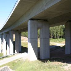
Talbrücke Streitschlag
6.2 km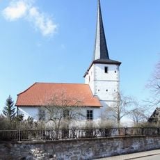
Dorfkirche Lengfeld
6.8 km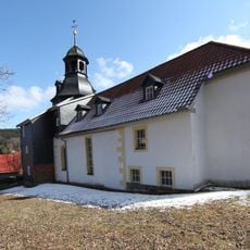
St. Nikolaus
1.9 km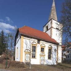
St. Mauritius
102 m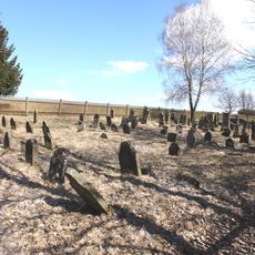
Jewish cemetery Marisfeld
638 m
Protestant Church Dillstädt
3.8 km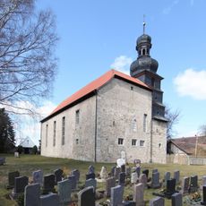
Kirchenburg Leutersdorf
4.2 km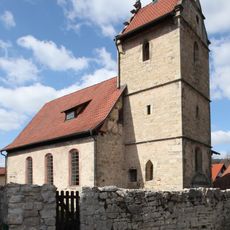
Protestant Church
4.8 km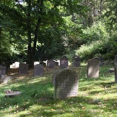
Jüdischer Friedhof Schwarza
7 km
St. Johannes (Dietzhausen)
5.2 km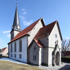
Oberstadt church
1.8 km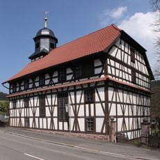
Protestant Church Mäbendorf
6.6 km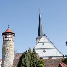
Protestant Church (Vachdorf)
4.2 km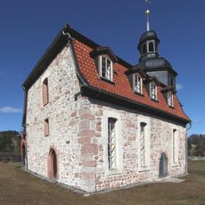
Evangelisch-lutherische Kirche Eichenberg
6.2 km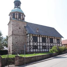
Protestant Church Wichtshausen
4.9 km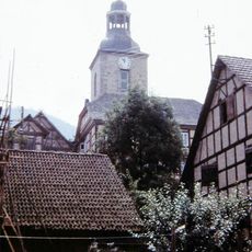
Protestant Church (Belrieth)
6.3 km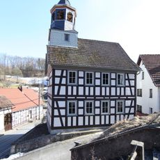
Protestant Church (Grub)
4.3 km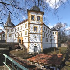
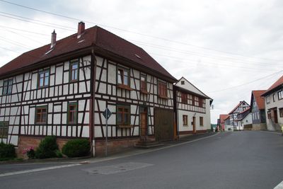
Marisfeld Castle
103 m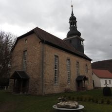
Protestant Church Ellingshausen
7.1 km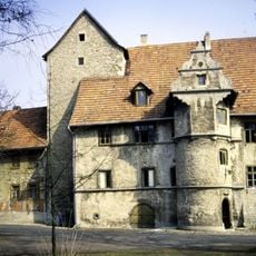
Castle Ellingshausen
7.1 kmReviews
Visited this place? Tap the stars to rate it and share your experience / photos with the community! Try now! You can cancel it anytime.
Discover hidden gems everywhere you go!
From secret cafés to breathtaking viewpoints, skip the crowded tourist spots and find places that match your style. Our app makes it easy with voice search, smart filtering, route optimization, and insider tips from travelers worldwide. Download now for the complete mobile experience.

A unique approach to discovering new places❞
— Le Figaro
All the places worth exploring❞
— France Info
A tailor-made excursion in just a few clicks❞
— 20 Minutes