
Böel, municipality of Germany
Location: Schleswig-Flensburg
Elevation above the sea: 21 m
Shares border with: Mohrkirch, Saustrup, Schnarup-Thumby
Website: https://amt-suederbrarup.de/gemeinden/boeel
GPS coordinates: 54.65100,9.70600
Latest update: March 3, 2025 21:27
Thorsberg moor
4.4 km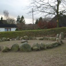
Hügelgrab Kummerhy
4.1 km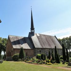
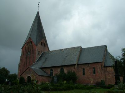
Saint Marys Church
4 km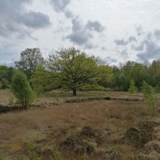
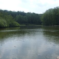
Hechtmoor
7.6 km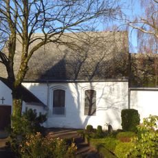
Struxdorf Church
5 km
Os bei Süderbrarup
3.4 km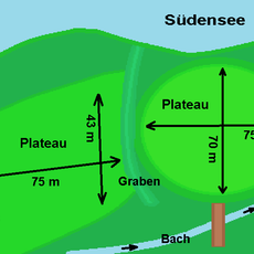
Südenseehof
6.9 km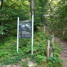
Wellspanger-Loiter-Oxbek-System und angrenzende Wälder
7.8 km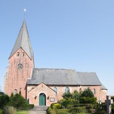
St. Ursula
1.1 km
NSG Hechtmoor
7.5 km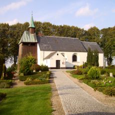
Taarstedt church
8.5 km
Rehbergholz und Schwennholz
6.5 km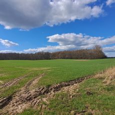
Kiuser Gehege
7.4 km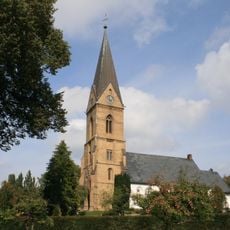
St.-Jacobi
5.1 km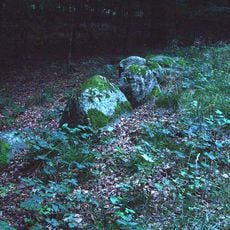
Großsteingrab Pinnesgrab
5.5 km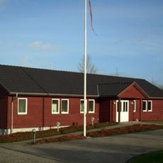
Süderbrarup danish Church
4.1 km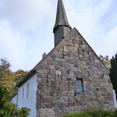
Jakobus-Kirche
7.4 km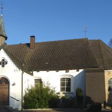
Loit Kirche
4.4 km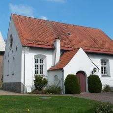
Schnarup-Thumby Kirche
4 km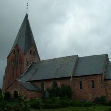
Norderstraße 5, Kirche St. Ursula
1.1 km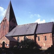
Norderstraße 5, Kirche St. Ursula
1.1 km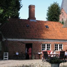
Lindenallee 2, Wohnhaus
1.1 km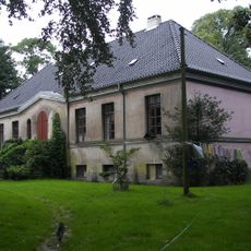
Gut Flarupgaard: Herrenhaus
2.4 km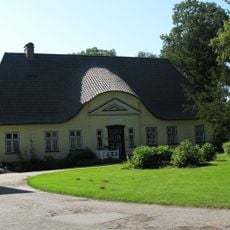
Pastorat
7.5 km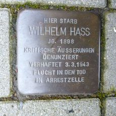
Stolperstein dedicated to Wilhelm Hass
4.2 km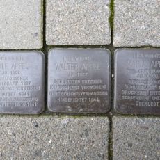
Stolperstein dedicated to Walter Appel
4.6 km
Stolperstein dedicated to Rolf Appel
4.6 km
Stolperstein dedicated to Maria Appel
4.6 kmReviews
Visited this place? Tap the stars to rate it and share your experience / photos with the community! Try now! You can cancel it anytime.
Discover hidden gems everywhere you go!
From secret cafés to breathtaking viewpoints, skip the crowded tourist spots and find places that match your style. Our app makes it easy with voice search, smart filtering, route optimization, and insider tips from travelers worldwide. Download now for the complete mobile experience.

A unique approach to discovering new places❞
— Le Figaro
All the places worth exploring❞
— France Info
A tailor-made excursion in just a few clicks❞
— 20 Minutes