
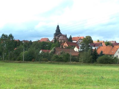
Dankmarshausen, former municipality of Germany
Location: Werra-Suhl-Tal
Elevation above the sea: 209 m
Website: http://dankmarshausen.de
GPS coordinates: 50.92583,10.01278
Latest update: March 3, 2025 02:18
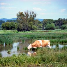
Rhäden bei Obersuhl und Bosserode
1.7 km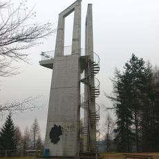
Mahnmal Bodesruh
4 km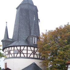
Rundkirche Untersuhl
4.4 km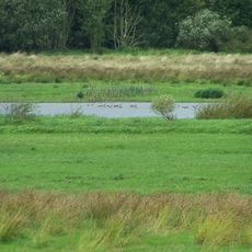
Dankmarshäuser Rhäden
1 km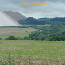
Burg Hornsberg
2.9 km
Hornungskuppe
3.3 km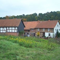
Gasteroda
4.3 km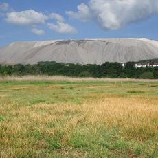
Rohrlache von Heringen
2.6 km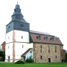
Kirche
380 m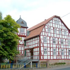
Schloss Dippach
2.4 km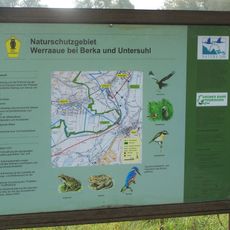
Werraaue bei Berka und Untersuhl
3.2 km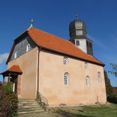
Evangelische Kirche Bosserode
3.2 km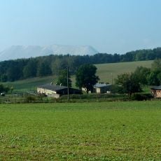
Auels-Berg
4.2 km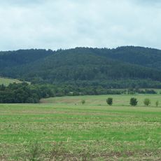
Hermesberg
2.8 km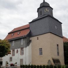
Church in Hönebach
5.1 km
Lindenhauptskopf
1.5 km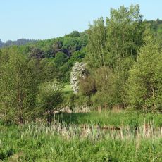
Säulingssee bei Kleinensee
3.3 km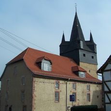
St. Laurentius (Berka/Werra)
4 km
Werra-Kalibergbau-Museum und Besichtigung Monte Kali
4.4 km
Rohrlache von Heringen
2.7 km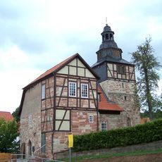
St. Katharina (Dippach)
2.5 km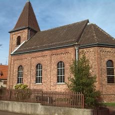
Evangelisch-Lutherische Freikirche Obersuhl
3 km
Protestant Church (Großensee)
3 km
Dankmarshäuser Rhäden
1.3 km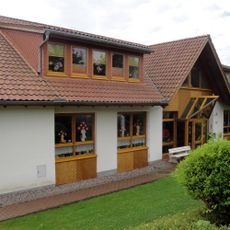
Evangelische Tagesstätte “Sonnenschein”
5.1 km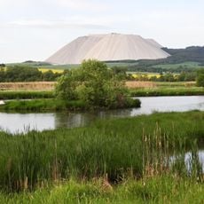
Rhäden bei Obersuhl und Bosserode
1.8 km
Säulingssee bei Kleinensee
3.2 km
Multi-purpose hall Hönebach
5.2 kmVisited this place? Tap the stars to rate it and share your experience / photos with the community! Try now! You can cancel it anytime.
Discover hidden gems everywhere you go!
From secret cafés to breathtaking viewpoints, skip the crowded tourist spots and find places that match your style. Our app makes it easy with voice search, smart filtering, route optimization, and insider tips from travelers worldwide. Download now for the complete mobile experience.

A unique approach to discovering new places❞
— Le Figaro
All the places worth exploring❞
— France Info
A tailor-made excursion in just a few clicks❞
— 20 Minutes