
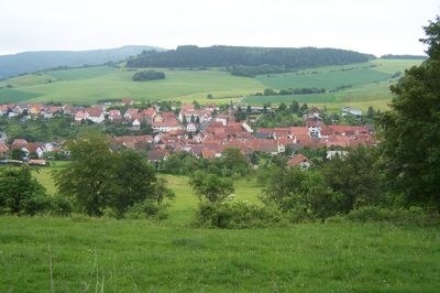
Klings, district of Kaltennordheim
Location: Kaltennordheim
Elevation above the sea: 475 m
GPS coordinates: 50.64972,10.11667
Latest update: May 15, 2025 11:11
Ibengarten
4.8 km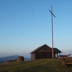
Gläser-Berg
5 km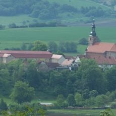
Propstei Zella
2.7 km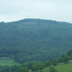
Umpfen-Berg
3.6 km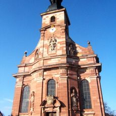
Mariä Himmelfahrt, Zella/Rhön
2.7 km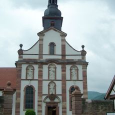
St. Peter und Paul
7.5 km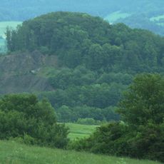
Fischberg Castle
673 m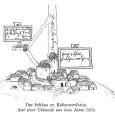
Merlinsburg
4 km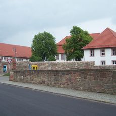
Schloss Dermbach
7.6 km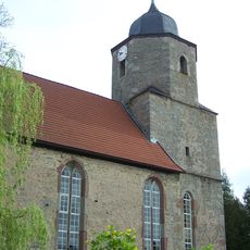
Protestant Church (Kaltenlengsfeld)
5.5 km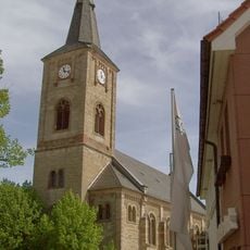
St.-Nikolai-Kirche
3.8 km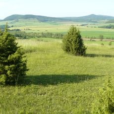
Wiesenthaler Schweiz
5.5 km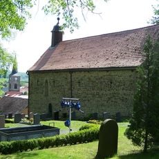
Kilianskirche
3.7 km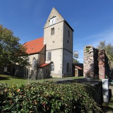
St. Albanus (Kaltensundheim)
5.6 km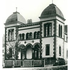
Synagoge Tann
6.6 km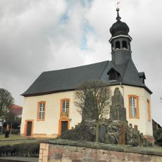
Evangelische Kirche Empfertshausen
1.9 km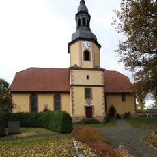
St. Trinitatis
1.9 km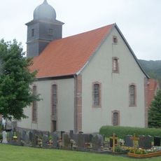
Protestant Church Diedorf
1.3 km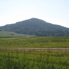
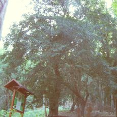
Neuberg
5.5 km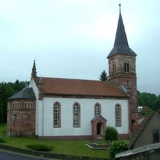
Protestant Church Klings
168 m
St. Laurentius
4.6 km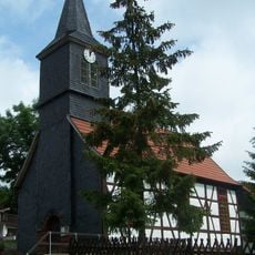
Protestant Church Andenhausen
3.5 km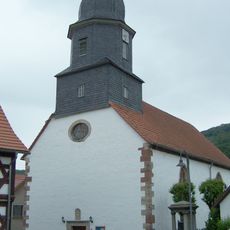
Protestant Church Neidhartshausen
3.2 km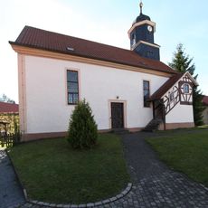
Protestant Church Reichenhausen
7.5 km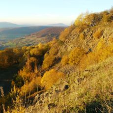
Ibengarten - Wiesenthaler Schweiz - Sommertal
3.6 km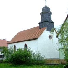
Protestant Church Brunnhartshausen
3.1 km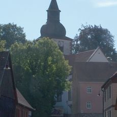
Protestant Church Wiesenthal
6.9 km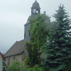
Protestant Church Fischbach
1.9 kmVisited this place? Tap the stars to rate it and share your experience / photos with the community! Try now! You can cancel it anytime.
Discover hidden gems everywhere you go!
From secret cafés to breathtaking viewpoints, skip the crowded tourist spots and find places that match your style. Our app makes it easy with voice search, smart filtering, route optimization, and insider tips from travelers worldwide. Download now for the complete mobile experience.

A unique approach to discovering new places❞
— Le Figaro
All the places worth exploring❞
— France Info
A tailor-made excursion in just a few clicks❞
— 20 Minutes