
Sehestedt, municipality of Germany
Location: Rendsburg-Eckernförde
Elevation above the sea: 7 m
Website: https://sehestedt.de
GPS coordinates: 54.36667,9.81667
Latest update: March 4, 2025 00:32
Eider Canal
2.7 km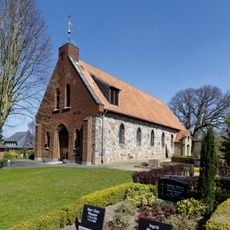
Church of Bünsdorf
4.7 km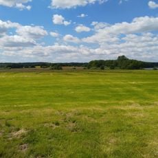
Wittensee und Flächen angrenzender Niederungen
3.1 km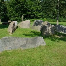
Großsteingrab Bovenau
3.9 km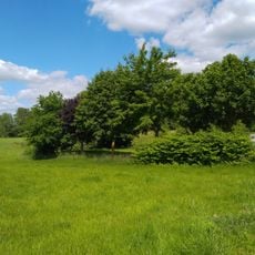
Kluvensieker Holz
2.2 km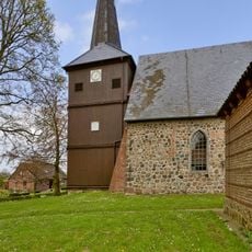
Maria-Magdalenen-Kirche
4.1 km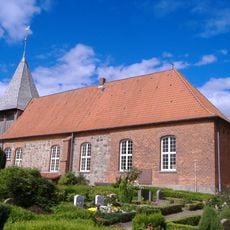
St. Peter-und-Paul-Kirche
329 m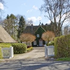
Hofanlage: Wohnhaus
5.9 km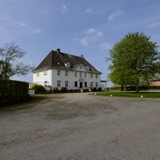
Gut Steinwehr
2.3 km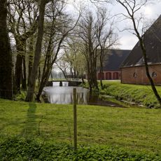
Gut Osterrade: Zufahrtsbrücke
2.4 km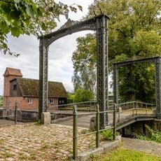
Eisentore der ehem. Zugbrücke
2.8 km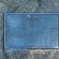
Schottenstein
654 m
Mühlenstraße, Windmühle
5.2 km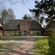
Pastorat mit Grundstück
4.1 km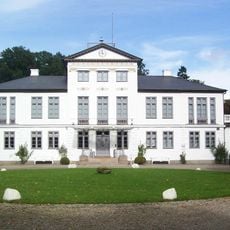
Gut Kluvensiek
2.8 km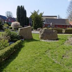
Kirche St. Katharina
4.7 km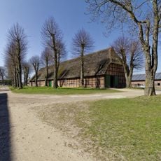
Scheune
323 m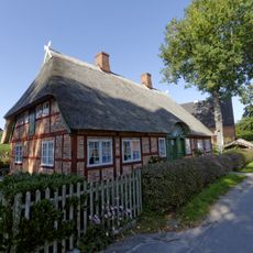
Mühlenstraße 5, Fachwerkdoppelkate
5.2 km
Gut Osterrade: Herrenhaus
2.3 km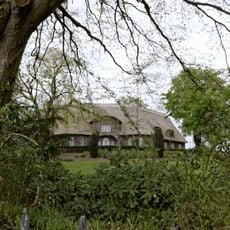
Gut Dengelsberg
3.4 km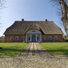
Pastorat
331 m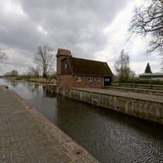
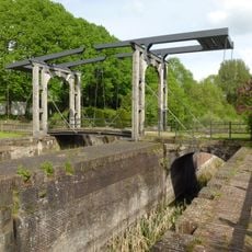
Eiderkanalschleuse
2.8 km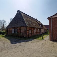
Altes Schulmeisterhaus
327 m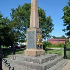
Denkmal Gefecht bei Sehestedt
202 m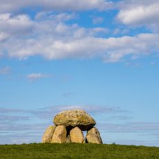
Sprockhoff No. 78
6 km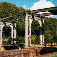
Hofteich, Eiderkanalschleuse
5.6 km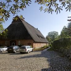
Mühlenstraße 18, Wohn- und Wirtschaftsgebäude
5.4 km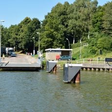
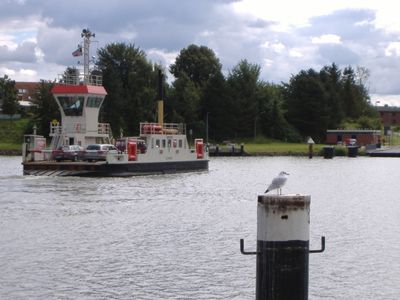
Fähranleger in Sehestedt
385 mVisited this place? Tap the stars to rate it and share your experience / photos with the community! Try now! You can cancel it anytime.
Discover hidden gems everywhere you go!
From secret cafés to breathtaking viewpoints, skip the crowded tourist spots and find places that match your style. Our app makes it easy with voice search, smart filtering, route optimization, and insider tips from travelers worldwide. Download now for the complete mobile experience.

A unique approach to discovering new places❞
— Le Figaro
All the places worth exploring❞
— France Info
A tailor-made excursion in just a few clicks❞
— 20 Minutes