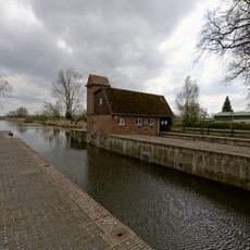
Eider Canal, Historical waterway in Schleswig-Holstein, Germany
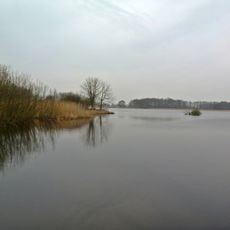
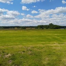
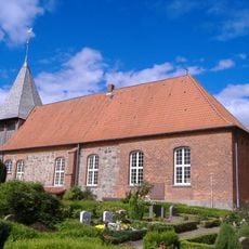
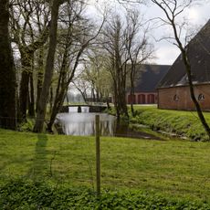
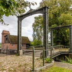
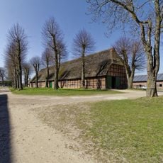
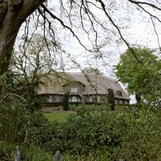
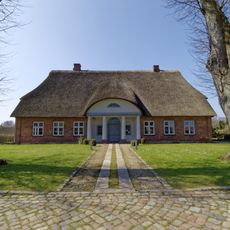
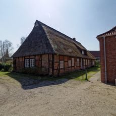
The Eider Canal is a waterway in Schleswig-Holstein that connects two seas and passes through several locks along its path. The route runs through flat terrain dotted with dikes, meadows, and small harbor towns shaped by maritime traffic.
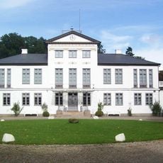
The canal was built under King Christian VII of Denmark as a project to improve trade between the North and Baltic Seas. It marked a turning point in European shipping history by creating the first continuous route through German territory.
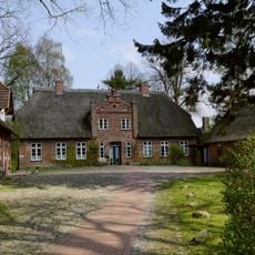
The canal shapes daily life in villages along its route, where you can still watch ships move slowly through the locks today. Local communities have built their settlements around this waterway and continue to value it as a key part of their identity.
Visitors can best observe the locks from pathways and viewing areas beside the water, especially when ships pass through. The best time to explore is during the warmer months, when leisure boats and local vessels are also in operation.
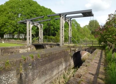
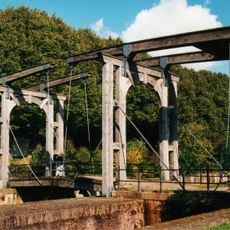
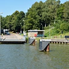
The canal required a sophisticated system of locks to manage the height differences between the two seas. This engineering feat from the 18th century still works today using the same principles, allowing ships to move smoothly between different water levels.
The community of curious travelers
AroundUs brings together thousands of curated places, local tips, and hidden gems, enriched daily by 60,000 contributors worldwide.