
Kallinchen, human settlement in Germany
Location: Zossen
Elevation above the sea: 38 m
GPS coordinates: 52.21110,13.55820
Latest update: June 13, 2025 19:35
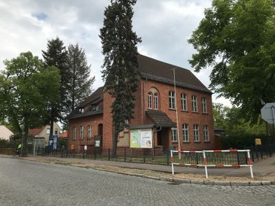
Maybach I
6.2 km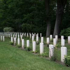
Zehrensdorf Indian Military Cemetery
5.7 km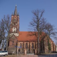
Stadtpfarrkirche St. Moritz (Mittenwalde in der Mark)
6.1 km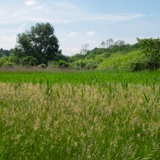
Sutschketal
5.5 km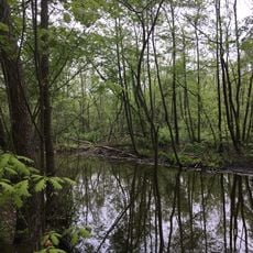
Töpchiner Seen
5 km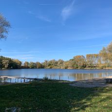
Tonsee
6.4 km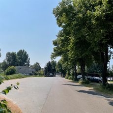
Schöneicher Plan
3.1 km
Jägersberg–Schirknitzberg
4.6 km
Pätzer Hintersee
5.2 km
Heimatmuseum Mittenwalde
6.2 km
Dorfkirche Töpchin
4.8 km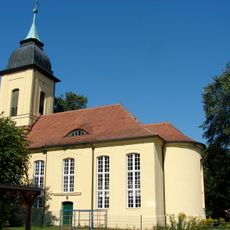
Dorfkirche Motzen (Mittenwalde)
1.9 km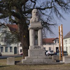
Friedrich-Ludwig-Jahn-Denkmal
6.1 km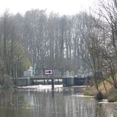
Schleuse Mittenwalde
5.4 km
Am Pätzer See
5.3 km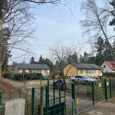
Siedlung am Motzener See
1.7 km
Abzweigung (Mittenwalde)
5.3 km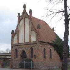
Spitalkapelle St. Georg
6.5 km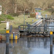
Schleuse Gallun
5.1 km
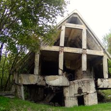
Fernmeldebunker Zeppelin
6.1 km
Notte-Niederung
6.4 km
Zollstockmuseum
5.8 km
Sutschketal
5.7 km
Streuobstwiese Zossen
5.7 km
Jägersberg-Schirknitzberg
5.6 km
Rosskastanie Bestensee
5.9 km
Salzmarkt 5
6.2 km
Blutigelluch
4.6 kmReviews
Visited this place? Tap the stars to rate it and share your experience / photos with the community! Try now! You can cancel it anytime.
Discover hidden gems everywhere you go!
From secret cafés to breathtaking viewpoints, skip the crowded tourist spots and find places that match your style. Our app makes it easy with voice search, smart filtering, route optimization, and insider tips from travelers worldwide. Download now for the complete mobile experience.

A unique approach to discovering new places❞
— Le Figaro
All the places worth exploring❞
— France Info
A tailor-made excursion in just a few clicks❞
— 20 Minutes