Enable Location

We need your location to show you interesting places around you

Discover nearby places

Find interesting locations and hidden gems around you

Precise directions

Get accurate directions and distances to places

Your location is never shared with other users. It's only used when you tap the location button.

Zossen

Log in to your account

Start exploring — it's free

Trusted by 62,835 travelers worldwide

Continue with Google
Continue with Apple
or

We will send you a code to connect

By continuing, you accept our Terms and Conditions and our Privacy Policy

Check your inbox

We've sent a pincode in your inbox. Please enter the code below.

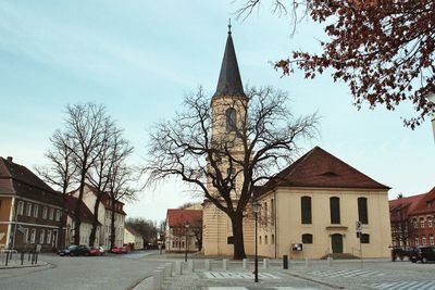
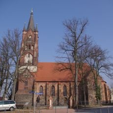
Zossen, Municipal town in Teltow-Fläming District, Germany.

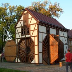
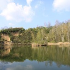
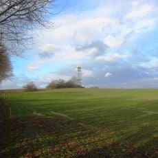
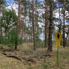
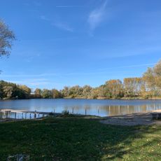
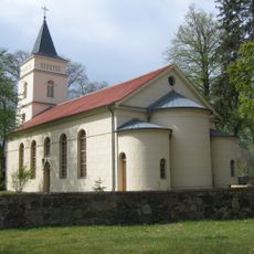
Zossen is a municipality in Brandenburg covering roughly 180 square kilometers with agricultural areas in the north and forest regions in the south. The territory comprises multiple districts, with Wünsdorf as its largest section shaping the area's character.

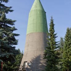
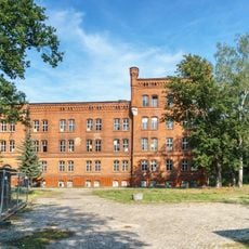
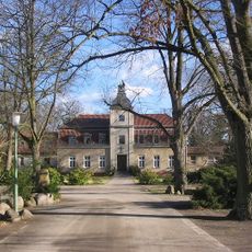
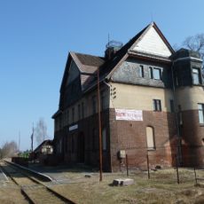
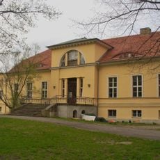
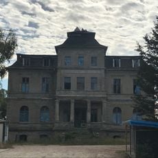
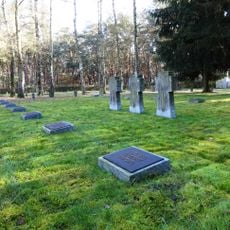
The area gained military importance in 1910 when an Imperial German Army proving ground and garrison were established in Wünsdorf. After World War II, Soviet forces took control and transformed the region for decades.

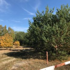
The name comes from Upper Sorbian origins referring to pine forests, reflecting the Slavic roots of early settlement here. This linguistic heritage shows how the region's identity remains connected to its pre-German inhabitants.

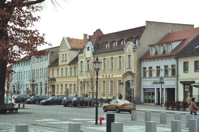
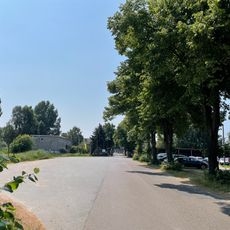
The town sits about 30 kilometers south of Berlin and is accessible via the B96 highway and the Berlin-Dresden railway line. Good rail connections make day trips from the capital easy, while the surrounding countryside invites hiking and exploration.

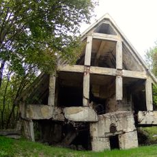
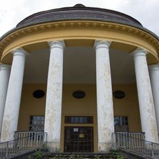
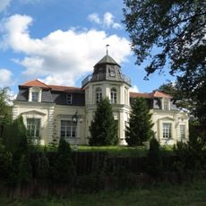
Wünsdorf contains remnants of a major Soviet military complex that was abandoned after 1994, offering a rare window into postwar history. The ruins of this Soviet settlement tell stories of a vanished chapter and attract those interested in Cold War heritage.

The community of curious travelers

AroundUs brings together thousands of curated places, local tips, and hidden gems, enriched daily by 60,000 contributors worldwide.

Start exploring
Elevation above the sea
38 m
Shares border with
Rangsdorf, Mittenwalde, Ludwigsfelde
GPS coordinates
52.21667,13.44972
Latest update
December 14, 2025 18:44
« Zossen - Municipal town in Teltow-Fläming District, Germany » is provided by Around Us (aroundus.com). Images and texts are derived from Wikimedia project under a Creative Commons license. You are allowed to copy, distribute, and modify copies of this page, under the conditions set by the license, as long as this note is clearly visible.

Discover hidden gems everywhere you go!

From secret cafés to breathtaking viewpoints, skip the crowded tourist spots and find places that match your style. Our app makes it easy with voice search, smart filtering, route optimization, and insider tips from travelers worldwide. Download now for the complete mobile experience.

Around Us App Screenshot

A unique approach to discovering new places

Le Figaro

All the places worth exploring

France Info

A tailor-made excursion in just a few clicks

20 Minutes

Around Us
Travel Guide & Maps
Download

Send to your phone

QR Code
1

Open the camera app on your mobile.

2

Point at the QR code with your camera. A notification will appear.

3

Tap the notification to open the link.