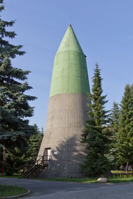
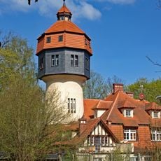
Maybach I and II, Military bunker complex in Zossen, Germany.
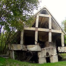
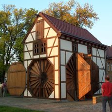
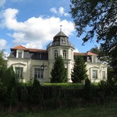
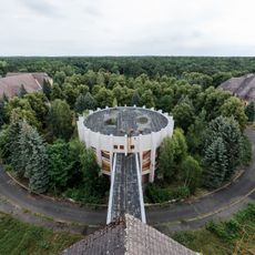
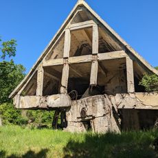
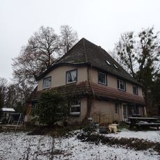
Maybach I and II form a bunker complex with twelve surface buildings designed to resemble ordinary houses, all connected through underground tunnels. The subsurface areas feature reinforced concrete walls, multiple levels, and housed different command functions and communication stations.
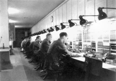
Built between 1937 and 1940, the bunkers served as the Army's command center during World War II operations. They functioned as the nerve center where military leaders coordinated major strategic decisions throughout the conflict.
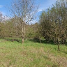
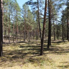
The site reveals how military leaders operated from hidden underground rooms and made crucial decisions far from the surface. Visitors can understand the scale of wartime command operations and the technical systems that supported them.
Access to the site requires joining a guided tour, which leads through preserved buildings and displays original communications equipment from the wartime period. Wear sturdy shoes and plan for some walking on uneven surfaces as you navigate the underground areas.
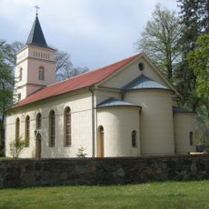
The surface buildings featured fake windows and doors to create the appearance of a regular residential neighborhood when viewed from aircraft above. This deception was so effective that pilots flying overhead could not identify the area as a military facility.
The community of curious travelers
AroundUs brings together thousands of curated places, local tips, and hidden gems, enriched daily by 60,000 contributors worldwide.