Enable Location

We need your location to show you interesting places around you

Discover nearby places

Find interesting locations and hidden gems around you

Precise directions

Get accurate directions and distances to places

Your location is never shared with other users. It's only used when you tap the location button.

Teltow-Fläming District

Log in to your account

Start exploring — it's free

Trusted by 61,555 travelers worldwide

Continue with Google
Continue with Apple
or

We will send you a code to connect

By continuing, you accept our Terms and Conditions and our Privacy Policy

Check your inbox

We've sent a pincode in your inbox. Please enter the code below.

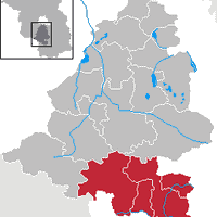
Teltow-Fläming District, Administrative division in Brandenburg, Germany

Description

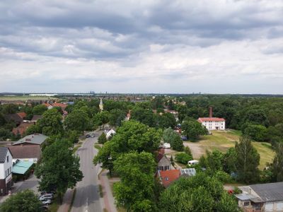
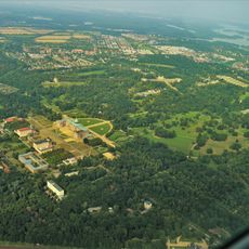
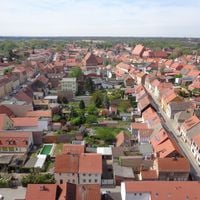
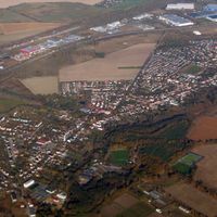
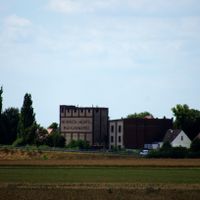
The district covers agricultural plains in the Teltow area and forested hills of the Fläming region, encompassing 14 municipalities with Luckenwalde as its administrative center. It combines flat farmland in the western sections with larger wooded areas toward the east.

History

The district was formed in 1993 through the merger of former districts Luckenwalde, Jüterbog, and Zossen plus portions from neighboring areas. This administrative reorganization created a larger, unified territorial unit in the Brandenburg region.

Culture

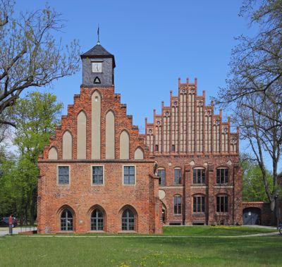
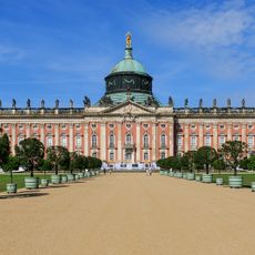
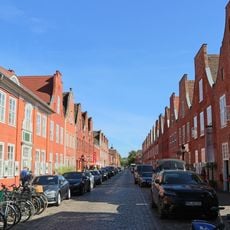
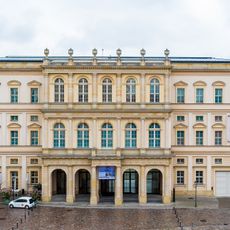
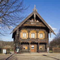
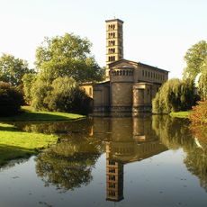
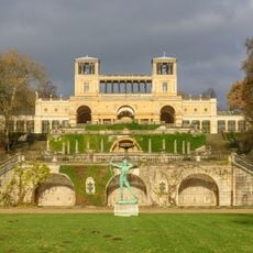
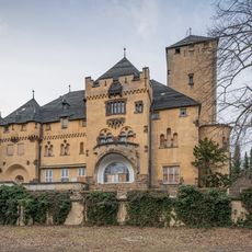
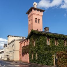
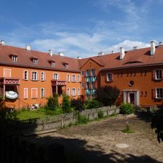
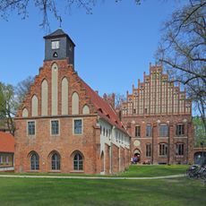
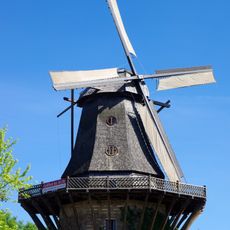
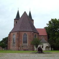
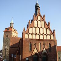
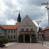
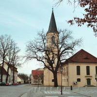
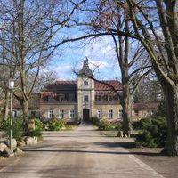
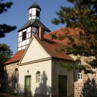
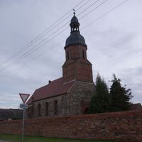
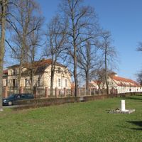
Medieval buildings like churches and former monastery structures stand throughout various towns, particularly noticeable in Jüterbog and surrounding villages. These structures shape the visual character of the communities you pass through.

Practical

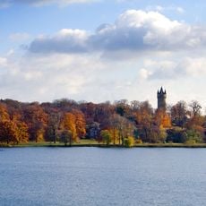
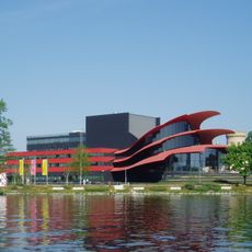
The S-Bahn rail network provides easy connections to Berlin through several towns in the district. Forests and parks across the region offer plenty of space for hiking and cycling through the countryside.

Did you know?

Between 1997 and 2001, the district experienced exceptional economic growth exceeding 56 percent. This period marked rapid transformation and development in the years following German reunification.

Location
Inception
1993
Capital city
Luckenwalde
Shares border with
Berlin, Dahme-Spreewald District, Elbe-Elster District, Potsdam-Mittelmark District, Wittenberg
GPS coordinates
52.08333,13.30000
Latest update
December 14, 2025 20:24

AroundUs brings together thousands of curated places, local tips, and hidden gems, enriched daily by 60,000 contributors worldwide. Discover all places nearby (Brandenburg).

« Teltow-Fläming District - Administrative division in Brandenburg, Germany » is provided by Around Us (aroundus.com). Images and texts are derived from Wikimedia project under a Creative Commons license. You are allowed to copy, distribute, and modify copies of this page, under the conditions set by the license, as long as this note is clearly visible.

Discover hidden gems everywhere you go!

From secret cafés to breathtaking viewpoints, skip the crowded tourist spots and find places that match your style. Our app makes it easy with voice search, smart filtering, route optimization, and insider tips from travelers worldwide. Download now for the complete mobile experience.

Around Us App Screenshot

A unique approach to discovering new places

Le Figaro

All the places worth exploring

France Info

A tailor-made excursion in just a few clicks

20 Minutes

Around Us
Travel Guide & Maps
Download

Send to your phone

QR Code
1

Open the camera app on your mobile.

2

Point at the QR code with your camera. A notification will appear.

3

Tap the notification to open the link.