Blankenfelde-Mahlow, Municipality with five villages in Teltow-Fläming District, Germany.
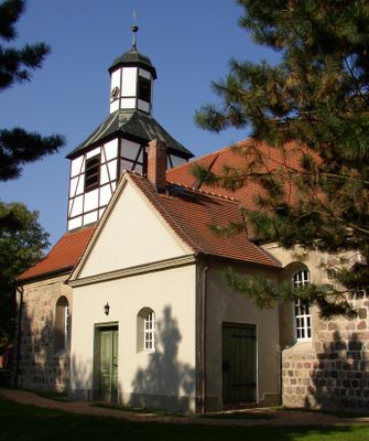
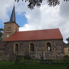
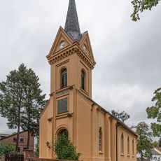
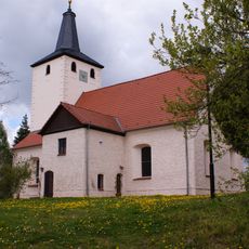
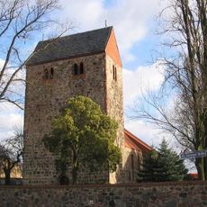
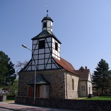
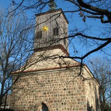
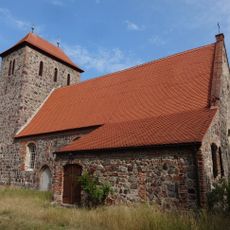
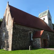
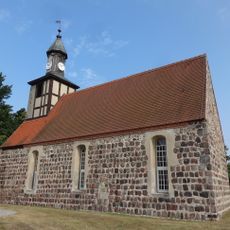
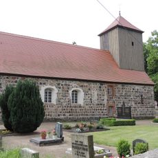
Blankenfelde-Mahlow is a municipality comprising five separate villages spread across the Teltow-Fläming region. Each village centers on its own traditional green and a medieval fieldstone church that marks the heart of the settlement.
Blankenfelde first appears in written records in 1375 as a rural village. Mahlow later became more important after a railway station opened in 1875, which connected the area more directly to urban centers.
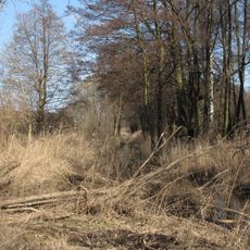
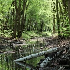
The five villages maintain their distinct character through regular community gatherings that celebrate regional Brandenburg traditions and ways of life. You can observe how residents still come together around the historic village greens, where local life remains centered on these shared public spaces.
The area connects to Berlin via S-Bahn rail lines, making it easy to travel to the capital from any of the villages. To explore all five villages fully, a car or bicycle works best since the centers are spread out across the region.
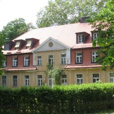
During the 1930s, the area underwent rapid growth through the Gagfah housing development project, which reshaped the villages significantly. These building efforts reveal how Berlin's suburbs were transformed during that period and how they absorbed growth while keeping village centers intact.
Location: Teltow-Fläming District
Elevation above the sea: 43 m
Shares border with: Rangsdorf, Großbeeren
Website: https://blankenfelde-mahlow.de
GPS coordinates: 52.35000,13.40000
Latest update: December 6, 2025 22:07
Landschaftsschutzgebiet Diedersdorfer Heide und Großbeerener Graben
2.6 km
Gutshaus Diedersdorf
3.5 km
Gutsanlage Dahlewitz
4.2 km
Mauerdenkmal an der B 96
3.1 km
Zülowgrabenniederung
6.2 km
Dorfkirche Jühnsdorf
5.6 km
Village church Rangsdorf
6.6 km
Gutshaus Jühnsdorf
5.7 km
Ehemaliger Blankenfelder See
3.7 km
Dorfkirche Diedersdorf (Großbeeren)
3.4 km
Village church Selchow
5 km
Dorfkirche (Blankenfelde)
2.1 km
Dorfkirche Mahlow
1.7 km
Village church Dahlewitz
4.3 km
Dorfkirche Waßmannsdorf
5.4 km
Dorfkirche Glasow
2.5 km
Torfbusch
3.2 km
Glasowbachniederung
5.3 km
Dorfkirche Groß Kienitz
5.3 km
Wohnhaus Bruno Taut
2.4 km
Stolperstein for Abraham Amster
1.8 km
Naturdenkmal Friedenseiche
2.5 km
Brunnluch
6.3 km
B96 border crossing
3.2 km
Naturdenkmal Friedenseiche (Baum) O Kirche; Flur 4, Flurstück 485 (hist. 95) in Diedersdorf
3.3 km
Naturdenkmal Zwei Platanen (Platanus x hispanica) (Baumgruppe) 0,15 km SW Kirche, am Gutshaus; Flur 1, Flurstück 70 (HF) in Diedersdorf
3.5 km
Glasowbachniederung
3 km
Naturdenkmal Stieleiche
2.6 kmVisited this place? Tap the stars to rate it and share your experience / photos with the community! Try now! You can cancel it anytime.
Discover hidden gems everywhere you go!
From secret cafés to breathtaking viewpoints, skip the crowded tourist spots and find places that match your style. Our app makes it easy with voice search, smart filtering, route optimization, and insider tips from travelers worldwide. Download now for the complete mobile experience.
A unique approach to discovering new places❞
— Le Figaro
All the places worth exploring❞
— France Info
A tailor-made excursion in just a few clicks❞
— 20 Minutes