Heeresversuchsanstalt Kummersdorf
Heeresversuchsanstalt Kummersdorf, Military research facility in Am Mellensee, Germany.
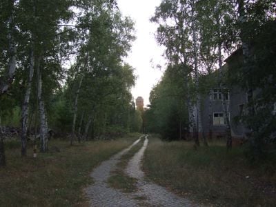
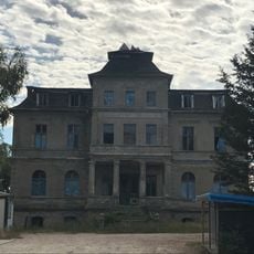
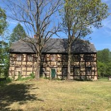
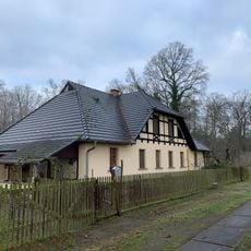
Heeresversuchsanstalt Kummersdorf is a former military testing ground in the Teltow-Fläming district of Brandenburg, spread across 3,200 hectares. The site contains 160 buildings, including bunkers, barracks, shooting ranges, and testing stations from different periods of German history.
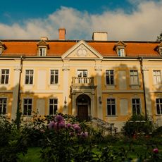
The site served as an artillery range from 1870 and later grew into a major weapons testing center during both world wars. After 1945, Soviet forces used the grounds until their withdrawal in the early nineties.
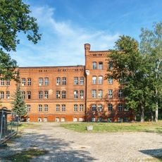
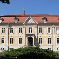
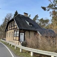
The complex shows buildings from four political eras standing side by side: Imperial times, Weimar Republic, Third Reich, and Soviet occupation. Some structures still carry inscriptions and markings from different decades of military use.
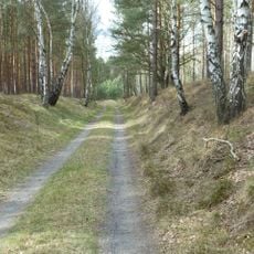
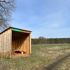
Visits are possible only through guided tours organized by the Historical Technical Museum, as the site still contains unexploded ordnance and unstable structures. Sturdy footwear and weatherproof clothing are advisable, since many areas are unpaved and exposed to the elements.
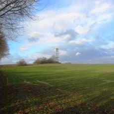
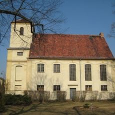
The water tower built in 1913 remained active until the eighties and counts among the few preserved monuments on the grounds. Its height once allowed water supply under sufficient pressure to distant parts of the site.
Location: Am Mellensee
GPS coordinates: 52.08330,13.33330
Latest update: December 5, 2025 22:28
Historisch-Technisches Museum – Versuchsstelle Kummersdorf
3 km
Schloss Stülpe
3.7 km
Sperenberger Gipsbrüche
6.9 km
Village church Sperenberg
6.8 km
Gipsberg
7 km
Gutshaus Sperenberg
6.1 km
Village church Stülpe
4.2 km
Horstmühle
3.9 km
Schöbendorfer Busch
5.8 km
Kummersdorfer Heide/Breiter Steinbusch
4.1 km
Forsthaus Wunder
5.8 km
Mönninghausen
4.6 km
Forsthaus Holbeck West
6.4 km
Dorfkirche Dümde
1.5 km
Village church Schönefeld, Nuthe Urstromtal
743 m
Stärtchen und Freibusch
4.8 km
Espenluch und Stülper See
4.9 km
Dorfkirche Schöneweide
5 km
Bombachhaus
6.6 km
Schmelze (Horstwalde)
3.2 km
Schloss Stülpe
3.7 km
Landschaftsschutzgebiet Baruther Urstromtal und Luckenwalder Heide
4 km
Naturdenkmal Parabeldüne (Düne) 800m N-O; Flur 4; 5, 6; 8 Flurstück 14; 7, 8, 9, 10; 15/1, 15/2; 10/2 in Horstwalde
4.5 km
Schöbendorfer Busch
5.7 km
Espenluch und Stülper See
4.8 km
Gipsberg Observation Tower
7 km
Truppenübungsplätze Jüterbog Ost und West
5.1 km
Stärtchen
4.8 kmVisited this place? Tap the stars to rate it and share your experience / photos with the community! Try now! You can cancel it anytime.
Discover hidden gems everywhere you go!
From secret cafés to breathtaking viewpoints, skip the crowded tourist spots and find places that match your style. Our app makes it easy with voice search, smart filtering, route optimization, and insider tips from travelers worldwide. Download now for the complete mobile experience.
A unique approach to discovering new places❞
— Le Figaro
All the places worth exploring❞
— France Info
A tailor-made excursion in just a few clicks❞
— 20 Minutes