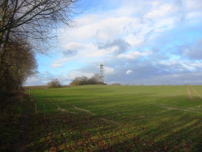
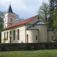
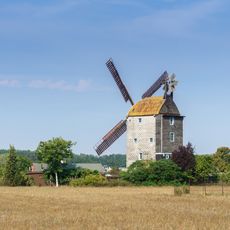
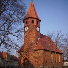
Gipsberg, Hill summit in Sperenberg, Brandenburg, Germany.
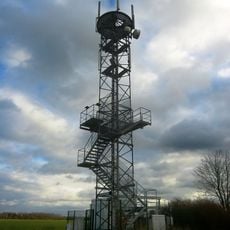
Gipsberg is a hill in the Mellensee area of Brandenburg that rises to just under 80 meters above sea level. A telecommunications tower at the summit provides visitors with an accessible vantage point and extended views across the surrounding landscape.
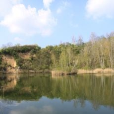
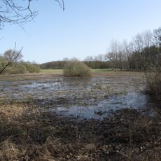
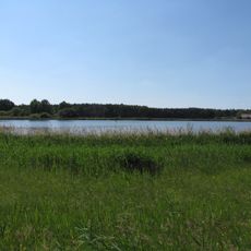
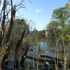
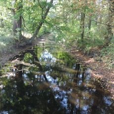
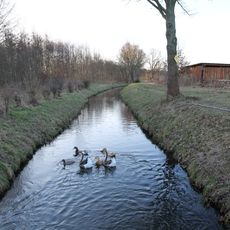
Gypsum was extracted from the southern slope from the 12th century until 1958, shaping the region's economic development for centuries. The mining pits eventually flooded after operations stopped, creating lakes that now define the local landscape.
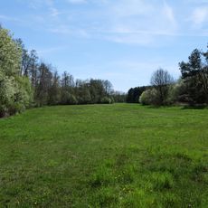
The name Gipsberg refers to its prominence as a high point in otherwise flat Brandenburg terrain. Visitors today use this summit as a natural gathering place for walks around Mellensee and to take in views across the lakes and surrounding woodland.
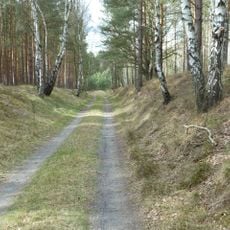
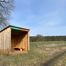
The hill is easily reached via hiking trails that connect the surrounding lakes and require no technical climbing. The terrain is accessible on foot or by bicycle and offers spots to rest at various points along the walking routes.
A geological path with information panels crosses the hill and explains to visitors the formation processes of the landscape and the mining story. These panels reveal how natural history and human activity together shaped what exists there today.
Location: Am Mellensee
Elevation above the sea: 79.8 m
GPS coordinates: 52.14028,13.37603
Latest update: December 14, 2025 20:04
Heeresversuchsanstalt Kummersdorf
7 km
Historisch-Technisches Museum – Versuchsstelle Kummersdorf
4.6 km
Kloster Alexanderdorf
3.4 km
Scheunenmühle Saalow
6.1 km
Sperenberger Gipsbrüche
506 m
Gutshaus Neuhof
7.2 km
Village church Sperenberg
700 m
Sperenberg railway station
1.1 km
Dorfkirche Wünsdorf
6 km
Gutshaus Sperenberg
886 m
Lazarettfriedhof Saalow
5.7 km
Gadsdorfer Torfstiche und Luderbusch
7.7 km
Paltrockmühle Saalow
5.6 km
Kummersdorfer Heide/Breiter Steinbusch
3.5 km
Forsthaus Wunder
6.9 km
Mönninghausen
2.8 km
Village church Schönefeld, Nuthe Urstromtal
7.6 km
Schmelze (Horstwalde)
6.8 km
Landschaftsschutzgebiet Baruther Urstromtal und Luckenwalder Heide
6.9 km
Wünsdorf, Seestraße 19
6.6 km
Schöbendorfer Busch
7.5 km
Nuthe, Hammerfließ und Eiserbach
5.8 km
Gipsberg Observation Tower
21 m
Gadsdorfer Torfstiche und Luderbusch
7.5 km
Wasserturm Rehagen
2.7 km
Wehrdamm/Mellensee/Kleiner Wünsdorfer See
6.5 km
Naturdenkmal Ulme (Baum) Lüdersdorf, Ortskern, vor Haus Nr. 13; Flur 2, Flurstück 69 in Lüdersdorf
7.8 km
Naturdenkmal Linde (Baum) Dorfplatz; Flur 3, Flurstück 27 in Gadsdorf
6.5 kmVisited this place? Tap the stars to rate it and share your experience / photos with the community! Try now! You can cancel it anytime.
Discover hidden gems everywhere you go!
From secret cafés to breathtaking viewpoints, skip the crowded tourist spots and find places that match your style. Our app makes it easy with voice search, smart filtering, route optimization, and insider tips from travelers worldwide. Download now for the complete mobile experience.
A unique approach to discovering new places❞
— Le Figaro
All the places worth exploring❞
— France Info
A tailor-made excursion in just a few clicks❞
— 20 Minutes