Gräfenberg, Mountain peak in Spessart, Germany
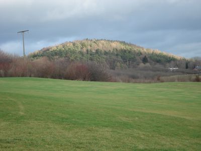
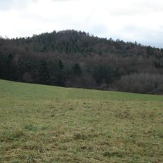
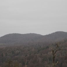
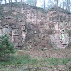
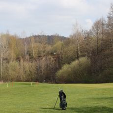
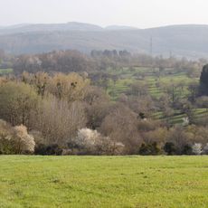
Gräfenberg is a summit in the Spessart region that reaches about 364 meters in elevation. From its peak, you can see across the surrounding forests and mountain landscape.
The mountainous region of Spessart, where Gräfenberg is located, formed during the Paleozoic era through intense geological processes that shaped its current structure.
Local residents maintain traditional hiking routes throughout the Gräfenberg area, marking paths that connect various points across the Spessart mountain range.
You can reach this mountain through marked hiking trails that start from nearby towns. Parking areas are available at the main trailheads for visitors.
The mountain's position at coordinates 50.0322483, 9.2303771 makes it a central reference point for geographical surveys and mapping activities in Bavaria.
The community of curious travelers
AroundUs brings together thousands of curated places, local tips, and hidden gems, enriched daily by 60,000 contributors worldwide.