
Lämmerspiel, municipal district of Mühlheim in Landkreis Offenbach, Germany
Location: Mühlheim am Main
Elevation above the sea: 108 m
GPS coordinates: 50.09720,8.85556
Latest update: June 14, 2025 21:44
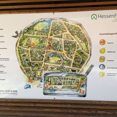
Wildpark Alte Fasanerie
4.2 km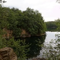
Naturschutzgebiet Oberwaldsee von Dietesheim
2.5 km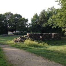
Burg in Hayn
3.2 km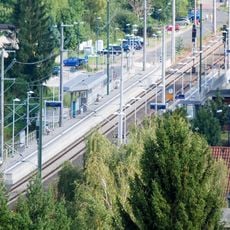
Offenbach-Bieber station
3.4 km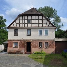
Käsmühle
2.4 km
Herz-Jesu-Kirche
2.8 km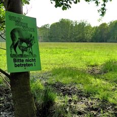
Hochbruch von Hausen
3.8 km
St. Pius (Hausen)
1.9 km
St. Thomas Morus
3.5 km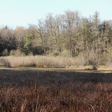
Lauternsee bei Klein-Auheim
2.7 km
St. Sebastian
2.9 km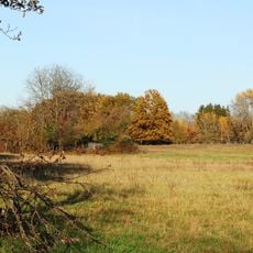
Amerikafeld und Schindkaute bei Steinheim
3 km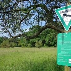
Mayengewann von Lämmerspiel
742 m
Kath. Pfarrkirche St. Josef
1.8 km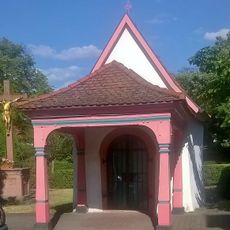
Wendelinuskapelle
2.7 km
Naturschutzgebiet Untere Fasanerie von Klein-Auheim
4 km
Waldkirche (Hausen)
2.6 km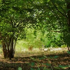
Am Rauhensee bei Steinheim
2.5 km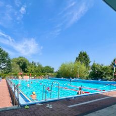
Freibad Lämmerspiel
484 m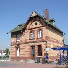
Obertshausen station
2.8 km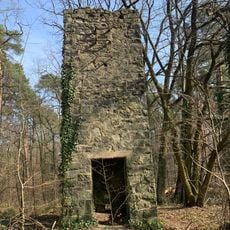
Sprengturm der Rouselle'schen Basaltwerke
2.2 km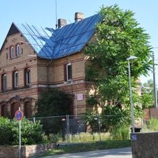
Bahnhof
3.5 km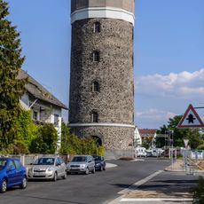
Wasserturm
2.8 km
Aschaffenburger Straße 6
3.6 km
Empfangsgebäude Mühlheim am Main
2.8 km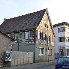
Haus Oberhofstraße 8
3.6 km
Amerikafeld und Schindkaute bei Steinheim
2.7 km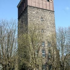
Wasserturm Hanau-Steinheim
3.5 kmReviews
Visited this place? Tap the stars to rate it and share your experience / photos with the community! Try now! You can cancel it anytime.
Discover hidden gems everywhere you go!
From secret cafés to breathtaking viewpoints, skip the crowded tourist spots and find places that match your style. Our app makes it easy with voice search, smart filtering, route optimization, and insider tips from travelers worldwide. Download now for the complete mobile experience.

A unique approach to discovering new places❞
— Le Figaro
All the places worth exploring❞
— France Info
A tailor-made excursion in just a few clicks❞
— 20 Minutes