
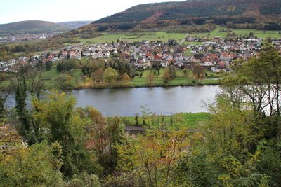
Mondfeld, quarter of Wertheim, Baden-Württemberg, Germany
Location: Wertheim
Elevation above the sea: 139 m
Shares border with: Stadtprozelten, Faulbach, Grünenwört, Nassig, Wessental, Boxtal, Rauenberg, Dorfprozelten
GPS coordinates: 49.78400,9.41820
Latest update: March 21, 2025 11:23
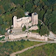
Henneburg
521 m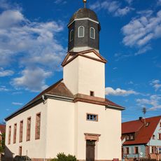
Alte Pfarrkirche
1.7 km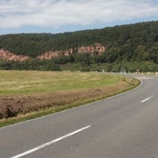
Sandstein Spessart
1.8 km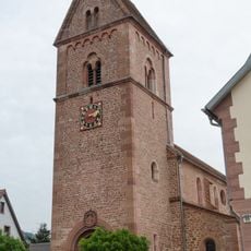
Pfarrkirche
2.8 km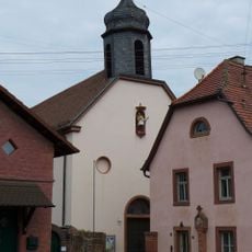
St. Martin
113 m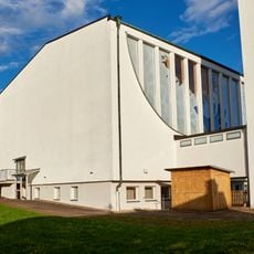
Kirche
1.7 km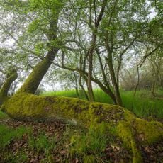
Grohberg
2.5 km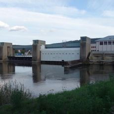
Faulbach barrage and locks
1.6 km
Wohnhaus
390 m
Wohnhaus
431 m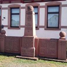
Kriegerdenkmal
113 m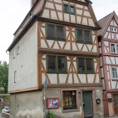
Wohnhaus
391 m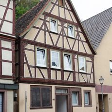
Wohnhaus
401 m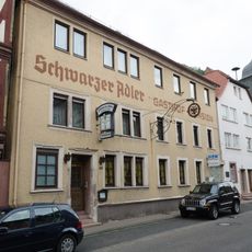
Gasthaus
411 m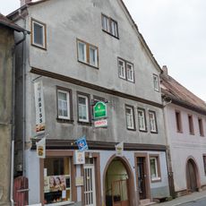
Doppelhaus
386 m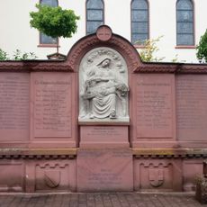
Kriegerdenkmal
2.5 km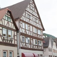
Wohnhaus
397 m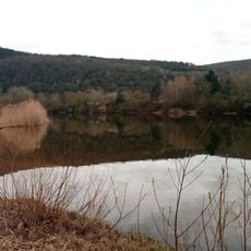
Badesee Mondfeld
780 m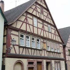
Wohnhaus
380 m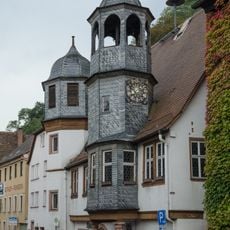
Rathaus
406 m
Pfarrhaus
2.8 km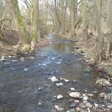
Baumbestand u.Ufervegetation am Wildbach Steinigwiesen/Mühlwiesen
1.8 km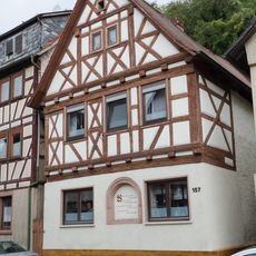
Wohnhaus
446 m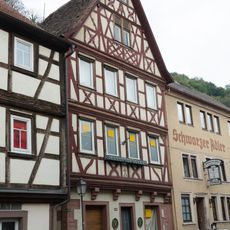
Wohnhaus
410 m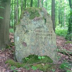
Gedenkstein Munitionsunglück 10. Juni 1945 Mondfeld
1.7 km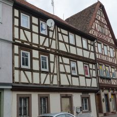
Wohnhaus
400 m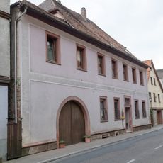
Wohnhaus
384 m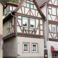
Wohnhaus
398 mReviews
Visited this place? Tap the stars to rate it and share your experience / photos with the community! Try now! You can cancel it anytime.
Discover hidden gems everywhere you go!
From secret cafés to breathtaking viewpoints, skip the crowded tourist spots and find places that match your style. Our app makes it easy with voice search, smart filtering, route optimization, and insider tips from travelers worldwide. Download now for the complete mobile experience.

A unique approach to discovering new places❞
— Le Figaro
All the places worth exploring❞
— France Info
A tailor-made excursion in just a few clicks❞
— 20 Minutes