
Steinmühle, human settlement in Germany
Location: Nennslingen
Elevation above the sea: 508 m
GPS coordinates: 49.03720,11.14360
Latest update: April 11, 2025 19:07

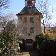
Schloss Syburg
3.2 km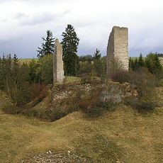
Burg Bechthal
3.1 km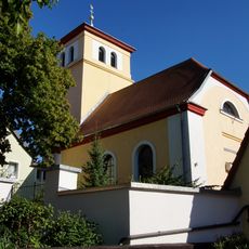
Evangelische Kirche
2.9 km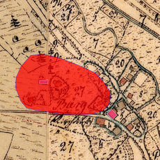
Cultural heritage D-1-6933-0011 in Titting
4.8 km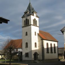
Christuskirche
4.8 km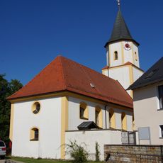
St. Pantaleon
3.6 km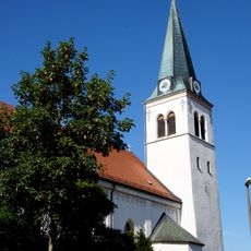
St. Blasius
2.7 km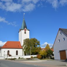
St. Koloman
3.4 km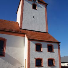
St. Clemens
2.8 km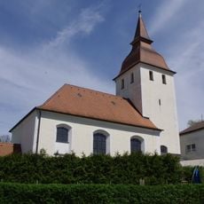
St. Nikolaus
1.2 km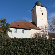
St. Ulrich
3.5 km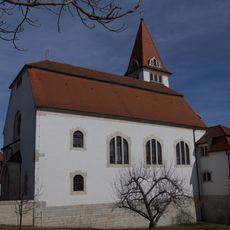
St. Nikolaus (Pfraunfeld)
4.4 km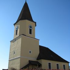
St. Georg
4.5 km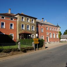
Brauereigasthof Wengen (Nennslingen)
3 km
St. Johannis Enthauptung
4.6 km
St. Ägidius
4.2 km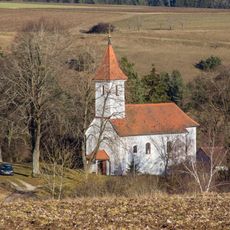
St. Laurentius
4.8 km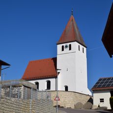
St. Margaretha
2.5 km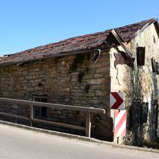
Bauernhaus, Haus 8
4.9 km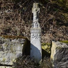
Wegkreuz
2.5 km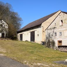
Aichmühle 1
4.2 km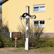
Wegkreuz
1.1 km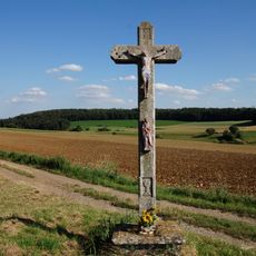
Wegkreuz
1.1 km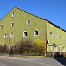
Kellergasse 1+3
1.5 km
Erdkastell Burgsalach
5.3 km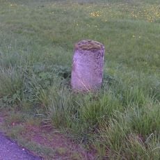
Bayrische Stundensäule I
5.2 km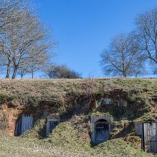
Felsenkeller bei Dannhausen
4.6 km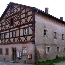
Ehemaliges Gasthaus
4.6 kmReviews
Visited this place? Tap the stars to rate it and share your experience / photos with the community! Try now! You can cancel it anytime.
Discover hidden gems everywhere you go!
From secret cafés to breathtaking viewpoints, skip the crowded tourist spots and find places that match your style. Our app makes it easy with voice search, smart filtering, route optimization, and insider tips from travelers worldwide. Download now for the complete mobile experience.

A unique approach to discovering new places❞
— Le Figaro
All the places worth exploring❞
— France Info
A tailor-made excursion in just a few clicks❞
— 20 Minutes