
Uttershausen, human settlement in Germany
Location: Wabern
Elevation above the sea: 169 m
GPS coordinates: 51.08350,9.33500
Latest update: March 13, 2025 14:38
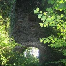
Ruine Falkenberg
4.4 km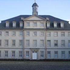
Jagdschloss Wabern
2.4 km
Kalbsburg
4.8 km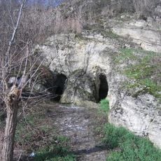
Wichtellöcher
1.4 km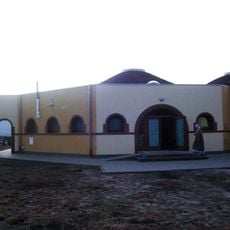
Muqeet-Moschee
2.4 km
Evangelische Stadtkirche Borken
5.5 km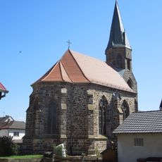
Evangelische Kirche Cappel
4.9 km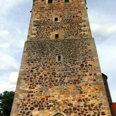
Bonifatiuskirche
4 km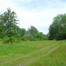
Pfingstgemeinde bei Zennern
3.8 km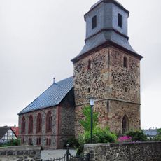
Evangelische Kirche
3.6 km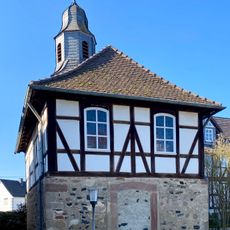
Evangelische Kirche Mardorf
5.7 km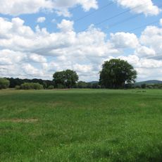
Ederauen bei Obermöllrich und Cappel
3.9 km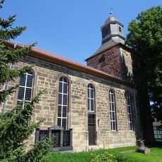
Evangelische Kirche Niedermöllrich
4.3 km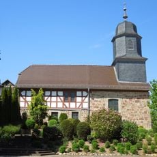
Evangelische Kirche
5 km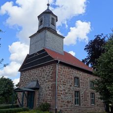
Evangelische Kirche Udenborn
2.5 km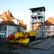
Besucherstollen des Hessischen Braunkohle Bergbaumuseums
5.5 km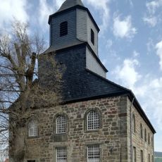
Evangelische Kirche Berge
4.2 km
Evangelische Kirche Mühlhausen
5.2 km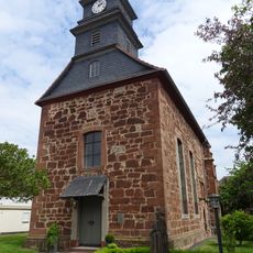
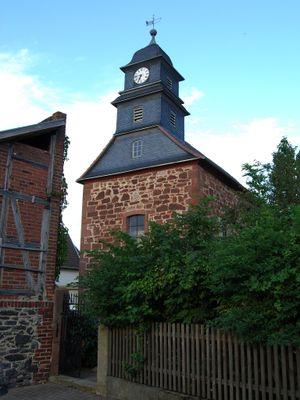
Kirche Uttershausen
165 m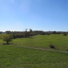
Landschaftsschutzgebiet Auenverbund Schwalm
4.1 km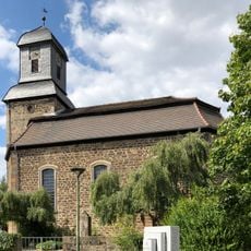
Evangelische Kirche Wabern
2.2 km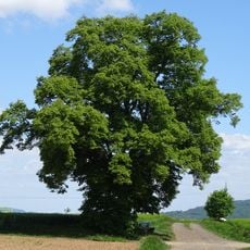
Linde von Mühlhausen
4.6 km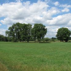
Auenverbund Eder
4.1 km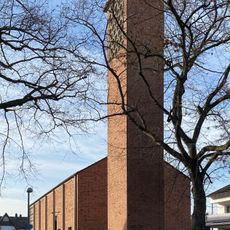
St. Wigbert
2 km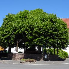
Linde in Rockshausen
5.3 km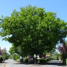
Eiche in Zennern
3.5 km
Eiche in Wabern
2.3 km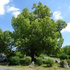
Linde von Unshausen
2.8 kmReviews
Visited this place? Tap the stars to rate it and share your experience / photos with the community! Try now! You can cancel it anytime.
Discover hidden gems everywhere you go!
From secret cafés to breathtaking viewpoints, skip the crowded tourist spots and find places that match your style. Our app makes it easy with voice search, smart filtering, route optimization, and insider tips from travelers worldwide. Download now for the complete mobile experience.

A unique approach to discovering new places❞
— Le Figaro
All the places worth exploring❞
— France Info
A tailor-made excursion in just a few clicks❞
— 20 Minutes