
Rodungsinsel Jagdhaus, protected landscape area in Schmallenberg, North Rhine-Westphalia, Germany
Location: Schmallenberg
Inception: 2005
GPS coordinates: 51.11000,8.28139
Latest update: May 14, 2025 04:42
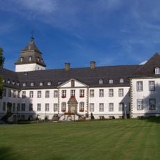
Grafschaft Abbey
4.9 km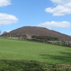
Wilzenberg
6 km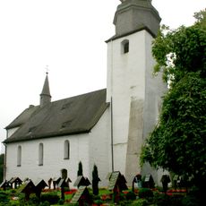
St. Peter und Paul
6.6 km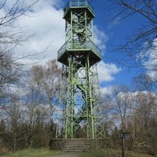
Wilzenberg Tower
5.9 km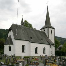
St. Vinzentius (Lenne)
4.9 km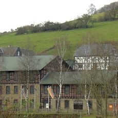
Besteckfabrik Hesse
3.4 km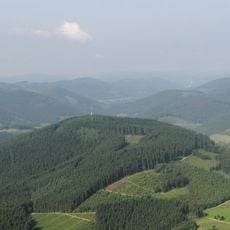
Beerenberg
4.6 km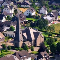
Herz-Jesu-Kirche
6.6 km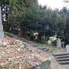
Jüdischer Friedhof
4.6 km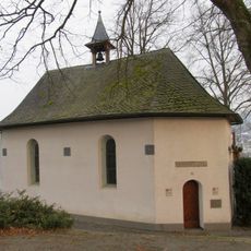
Kapelle Auf dem Werth
3.9 km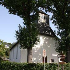
Evangelische Kirche Wingeshausen
4.5 km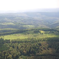
Waldreservat Schanze (nördliche Teilfläche)
3.6 km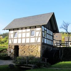
Alte Mühle
3.1 km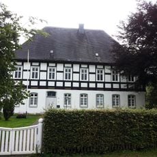
Pfarrhaus Wormbach
6.5 km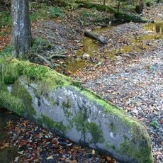
Altarstein Latrop
6.4 km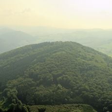
Wilzenberg
5.8 km
Kapelle St. Barbara
5.2 km
Gasthof Hubertushöhe
3.7 km
Bärenloch
5.3 km
Offenlandmulde Grafschaft-Almert
6.5 km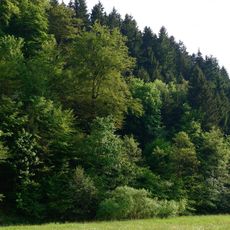
Schluchtwald bei Hundesossen
5.6 km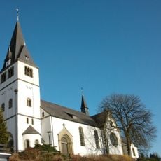
Saint Anthony the Great Church
3 km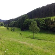
Üntrop
2.1 km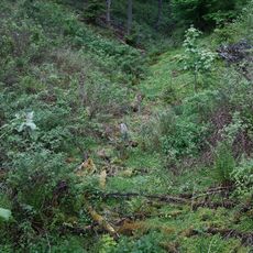
Opspring
5.7 km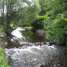
Lennetal unterhalb Schmallenberg
4.3 km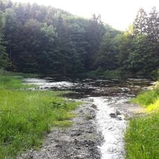
Schmallenberg Südost
4.5 km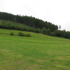
Ortsrandlage und Restgrünland um Lenne
4.6 km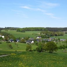
Offenlandbereiche um Obringhausen
6.2 kmReviews
Visited this place? Tap the stars to rate it and share your experience / photos with the community! Try now! You can cancel it anytime.
Discover hidden gems everywhere you go!
From secret cafés to breathtaking viewpoints, skip the crowded tourist spots and find places that match your style. Our app makes it easy with voice search, smart filtering, route optimization, and insider tips from travelers worldwide. Download now for the complete mobile experience.

A unique approach to discovering new places❞
— Le Figaro
All the places worth exploring❞
— France Info
A tailor-made excursion in just a few clicks❞
— 20 Minutes