
Grenzstein Nr. 23, des ehemaligen Burgfriedens der Stadt Mühldorf a. Inn, gesetzt 1664/65
Location: Mühldorf am Inn
Address: Obere Tegernau
GPS coordinates: 48.23656,12.51204
Latest update: November 24, 2023 23:44

Wallfahrtskirche Hl. Mutter Anna
902 m
Sankt Katharina
849 m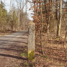
Grenzstein Nr. 26 (Süd)
264 m
Cultural heritage D-1-7741-0190 in Mühldorf am Inn
840 m
Brunnen am Katharinenplatz
915 m
Villa
831 m
Grenzstein Nr. 25 (Süd)
269 m
Grenzstein
179 m
Wohnhaus
883 m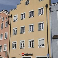
Wohnhaus
920 m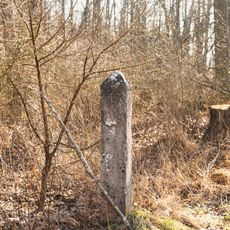
Grenzstein Nr. 22 (Süd)
124 m
Fachakademie für Sozialpädagogik
587 m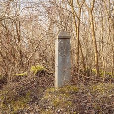
Grenzstein Nr. 27 (Süd)
599 m
Cultural heritage D-1-7741-0268 in Polling (bei Mühldorf am Inn)
905 m
Grenzstein Nr. 17 (Süd)
773 m
Wohnhaus
929 m
Grenzstein Nr. 18 (Süd)
649 m
Wohnhaus
891 m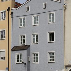
Wohnhaus
924 m
Grenzstein Nr. 21 (Süd)
149 m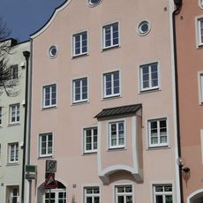
Wohnhaus
915 m
Wegkreuz
568 m
Hallenbad Sauna
914 m
Wayside cross
920 m
Wayside shrine, Christianity
791 m
Wayside cross
571 mReviews
Visited this place? Tap the stars to rate it and share your experience / photos with the community! Try now! You can cancel it anytime.
Discover hidden gems everywhere you go!
From secret cafés to breathtaking viewpoints, skip the crowded tourist spots and find places that match your style. Our app makes it easy with voice search, smart filtering, route optimization, and insider tips from travelers worldwide. Download now for the complete mobile experience.

A unique approach to discovering new places❞
— Le Figaro
All the places worth exploring❞
— France Info
A tailor-made excursion in just a few clicks❞
— 20 Minutes