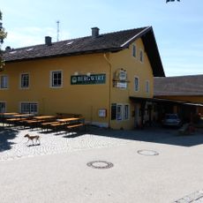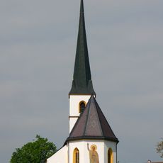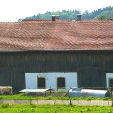
Bauernhof, mit ehemaliger Mühle (Irgmühle), Wohnhaus mit weit vorstehendem Schopfwalmdach, erste Hälfte 19. Jahrhundert
Location: Taching am See
Address: Mühlthal 8
GPS coordinates: 47.96257,12.72219
Latest update: November 20, 2025 17:53

Burg Taching
179 m
St. Petrus (Taching am See)
312 m
Kalvarienbergkapelle
222 m
Kapelle
317 m
Wegkapelle
553 m
Kapelle
508 m
Wegkapelle
140 m
Cultural heritage D-1-8042-0032 in Taching am See
372 m
Cultural heritage D-1-8042-0031 in Taching am See
295 m
Cultural heritage D-1-8042-0037 in Taching am See
642 m
Cultural heritage D-1-8042-0174 in Taching am See
314 m
Bauernhaus
801 m
Tachenseestraße 4
655 m
Cultural heritage D-1-8042-0034 in Taching am See
411 m
Ehemalige Mühle
51 m
Feldkapelle
821 m
Friedhofsmauer Kirchberg 5 in Taching am See
306 m
Bundwerkstadel
747 m
Feldkapelle Mitterfeld in Taching am See
800 m
Bauernhaus
834 m
Wohnstallhaus
401 m
Bundwerkstadel
430 m
Strandbad Taching
800 m
Martl-Kapelle
220 m
Scenic viewpoint
236 m
Scenic viewpoint
792 m
Bench, scenic viewpoint
571 m
Wayside shrine, Christianity
554 mReviews
Visited this place? Tap the stars to rate it and share your experience / photos with the community! Try now! You can cancel it anytime.
Discover hidden gems everywhere you go!
From secret cafés to breathtaking viewpoints, skip the crowded tourist spots and find places that match your style. Our app makes it easy with voice search, smart filtering, route optimization, and insider tips from travelers worldwide. Download now for the complete mobile experience.

A unique approach to discovering new places❞
— Le Figaro
All the places worth exploring❞
— France Info
A tailor-made excursion in just a few clicks❞
— 20 Minutes