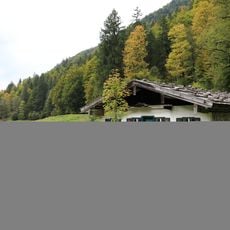
, almkaser (Steinbacherkaser), gemauert, an der Firstpfette bezeichnet mit dem Jahr 1777
Location: Reit im Winkl
Address: Obere Hemmersuppenalm 12
GPS coordinates: 47.63806,12.51786
Latest update: November 24, 2023 23:44
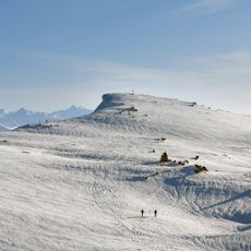
Fellhorn
3.2 km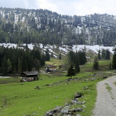
Obere Hemmersuppenalm
363 m
Gschwendtalm
2.7 km
Untere Hemmersuppenalm
1.9 km
Knauergschwendalm
2.5 km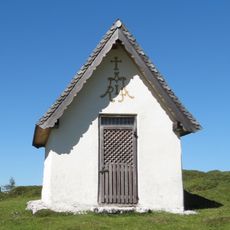
Durchkaser-Kapelle
2.5 km
Eggenalmkogel
1.6 km
Markkogel
965 m
Lahnerkogel
1.1 km
Steinwurfkogel
2.5 km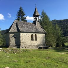
Almkapelle St. Anna
363 m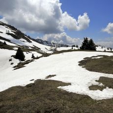
Eggenalm
2.4 km
Feldscheune Knauergschwend in Reit im Winkl
2.5 km
Bench, scenic viewpoint
1.5 km
Waterfall
1.3 km
Wayside cross
2.5 km
Schuhmacher Kreuz
1.5 km
Bench, scenic viewpoint
2.6 km
Summit cross, scenic viewpoint
1.5 km
Wayside cross
2.3 kmReviews
Visited this place? Tap the stars to rate it and share your experience / photos with the community! Try now! You can cancel it anytime.
Discover hidden gems everywhere you go!
From secret cafés to breathtaking viewpoints, skip the crowded tourist spots and find places that match your style. Our app makes it easy with voice search, smart filtering, route optimization, and insider tips from travelers worldwide. Download now for the complete mobile experience.

A unique approach to discovering new places❞
— Le Figaro
All the places worth exploring❞
— France Info
A tailor-made excursion in just a few clicks❞
— 20 Minutes