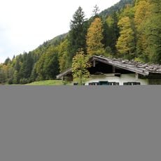
Fellhorn, Mountain summit in Tyrol, Austria
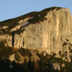
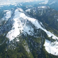
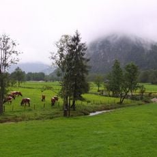
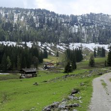
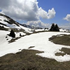
Fellhorn is a 1764 m summit in the Chiemgauer Alps on the municipal territory of Kössen, Kirchdorf and Waidring in Tyrol, close to the Salzburg and Bavarian borders. Its northern slopes are broad alpine meadows, while the south side drops in steep rock faces. The summit is built of bedded Dachstein limestone, with Plattenkalk on the north.
The sources document no naming legend for Fellhorn; the earliest recorded facts concern its topography. The summit marks the municipal boundary of Kössen, Kirchdorf and Waidring in the Kitzbühel district. Hubert Trimmel's mountain-group classification lists the massif as group 1325, and the Alpine Club's Eastern Alps division places it in the Chiemgauer Alps (AVE 11).
The summit lies where the municipal boundaries of Kössen, Kirchdorf and Waidring meet, and the crossing from Steinplatte over the Fellhorn down to Lofer or Kössen forms part of the Nordalpenweg 01 and the European long-distance trail E4. The Straubinger Haus at 1558 m, a hut of the Straubing section of the Alpine Club, serves as the main base on the ascent.
The shortest ascent starts at the Seegatterl car park (780 m) on the B 305, four kilometres east of Reit im Winkl, and takes about three hours via the Nattersbergalm, Obere Hemmersuppenalm and Straubinger Haus (1,558 m). From Blindau or Lofer the route via the Klausenbergalm takes around 3.5 hours. The summit is also a popular winter hike; the moderately steep northern slopes from Seegatterl and Blindau carry relatively low avalanche risk, but snowshoes may be needed depending on conditions.
The summit lies at the meeting point of three municipal boundaries: Kössen, Kirchdorf and Waidring. The Austrian long-distance trail 01, the Nordalpenweg, and the European E4 route cross the mountain on the traverse from Steinplatte to Lofer/Kössen.
The community of curious travelers
AroundUs brings together thousands of curated places, local tips, and hidden gems, enriched daily by 93,557 contributors worldwide.