
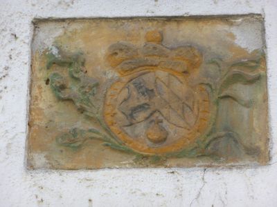
Wappenrelief, aus Sandstein mit Kurfürstenkrone, 1. Hälfte 18. Jahrhundert
Location: Rieden
Address: Vilshofener Straße 2
GPS coordinates: 49.32077,11.94553
Latest update: March 11, 2025 08:16
St. Jakobus (Ensdorf)
2.3 km
Maria Hilf
918 m
St. Michael
2.3 km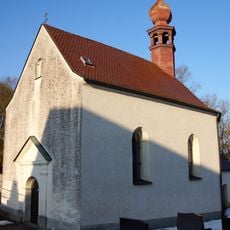
Zum Gegeißelten Heiland
2.2 km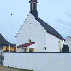
St. Bartholomäus
3.1 km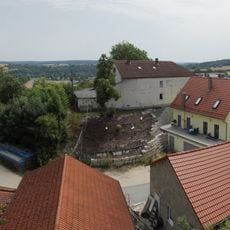
Burg Rieden
545 m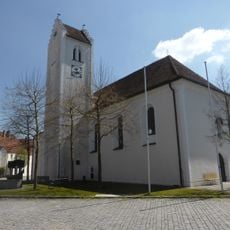
Mariä Himmelfahrt
418 m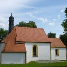
Katholische Wallfahrtskirche St. Dionys und Nothelfer (Ensdorf)
2.4 km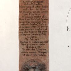
Grabstein für Pfalzgraf Otto V. von Scheyern und seine Gemahlin Heilika
2.3 km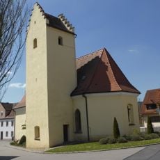
St. Georg
427 m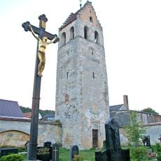
Stephansturm (Ensdorf)
2.3 km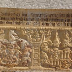
Epitaph der Katharina Altmann
2.3 km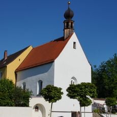
St. Laurentius
2.3 km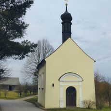
Kapelle St. Magnus
3 km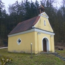
Kapelle St. Antonius
3.6 km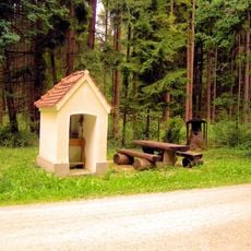
Kapelle St. Hubertus
3.6 km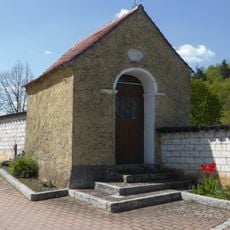
Wegkapelle Kreuther Straße
539 m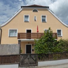
Wohnhaus
2.2 km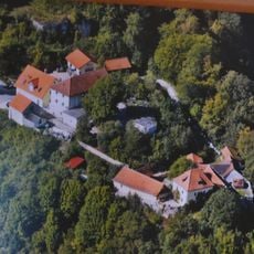
Burgruine Rieden
502 m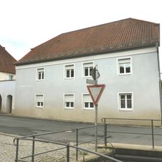
Ehemaliger Gasthof Schmidt
2.4 km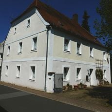
Halbwalmbau
331 m
Kallmünzer zwischen Rieden und Thanheim
852 m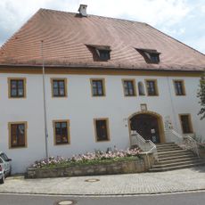
Ehemaliges Forsthaus des Klosters Ensdorf, jetzt katholische Kindergarten
2.1 km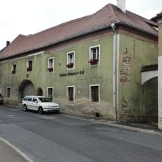
Klosterrichterhaus Ensdorf
2.2 km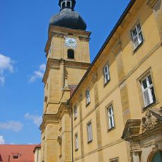
'''Ensemble Kloster Ensdorf mit Hauptstraße'''
2.4 km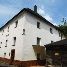
Ehemaliges Eisenamtshaus des Klosters
2.4 km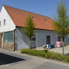
Wohnstallhaus
347 m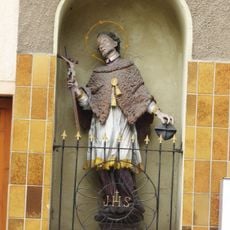
Nischenfigur hl. Johannes von Nepomuk
2.3 kmReviews
Visited this place? Tap the stars to rate it and share your experience / photos with the community! Try now! You can cancel it anytime.
Discover hidden gems everywhere you go!
From secret cafés to breathtaking viewpoints, skip the crowded tourist spots and find places that match your style. Our app makes it easy with voice search, smart filtering, route optimization, and insider tips from travelers worldwide. Download now for the complete mobile experience.

A unique approach to discovering new places❞
— Le Figaro
All the places worth exploring❞
— France Info
A tailor-made excursion in just a few clicks❞
— 20 Minutes