
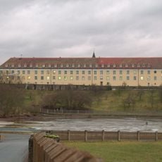
Forstamt Roding-Mitteldorf
Forstamt Roding-Mitteldorf, zweigeschossiger und traufständiger Satteldachbau mit segmentbogigen Fenstern, 1. Hälfte 19. Jahrhundert
Location: Roding
Address: Hauptstraße 21
GPS coordinates: 49.19933,12.50736
Latest update: March 31, 2025 01:00
Kloster Strahlfeld
4.8 km
Burg Wetterfeld
3.7 km
Thierlstein
6.3 km
St. Pankratius
782 m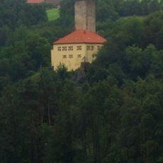
Burg Regenpeilstein
2.2 km
Josephi- und Anna-Kapelle Roding
815 m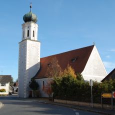
St. Vitus
4.5 km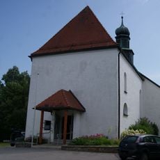
St. Ulrich (Wetterfeld)
3.7 km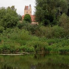
St. Martin
5.6 km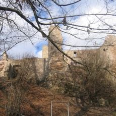
Pfahl-Ruine Schwärzenberg
6.6 km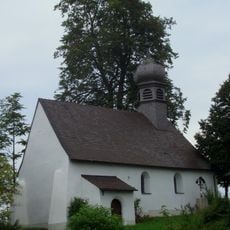
St. Bartholomäus
6.5 km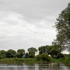
Regentalaue zwischen Cham und Pösing
6.6 km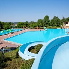
Freibad Platschare Roding
1.9 km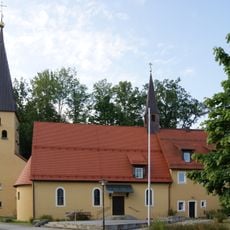
Christuskirche
1.1 km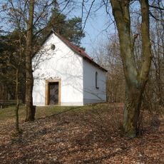
Kalvarienbergkapelle
4.6 km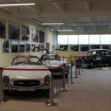
Dream Garage Roding
995 m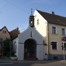
Sebastianikapelle
800 m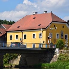
Pfarrhof
4.4 km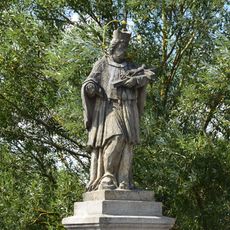
Figur des hl. Johannes Nepomuk
4.3 km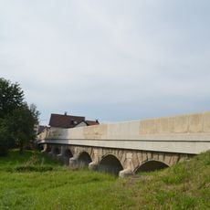
Brücke über den Altbach (Untertraubenbach)
5.7 km
Rathaus
780 m
Ehemalige katholische Filialkirche St. Peter und Paul, seit 1962 Leichenhaus
5.8 km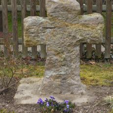
Steinkreuz
3.5 km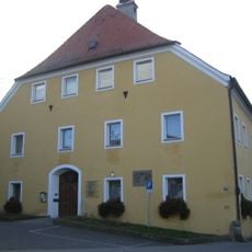
Ehemaliges Bezirksamt, vormals Meierhof
635 m
Roding Oberer Markt 2
786 m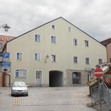
Bürgerhaus
770 m
Wohnhaus
713 m
Chamb, Regentalaue und Regen zwischen Roding und Donaumündung
3.2 kmReviews
Visited this place? Tap the stars to rate it and share your experience / photos with the community! Try now! You can cancel it anytime.
Discover hidden gems everywhere you go!
From secret cafés to breathtaking viewpoints, skip the crowded tourist spots and find places that match your style. Our app makes it easy with voice search, smart filtering, route optimization, and insider tips from travelers worldwide. Download now for the complete mobile experience.

A unique approach to discovering new places❞
— Le Figaro
All the places worth exploring❞
— France Info
A tailor-made excursion in just a few clicks❞
— 20 Minutes