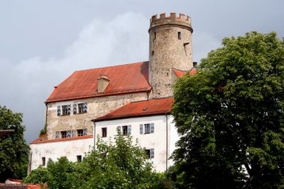
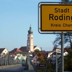
Thierlstein, Medieval castle in Cham, Germany
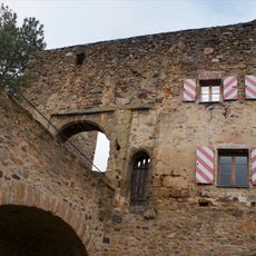
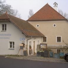
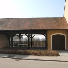
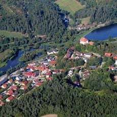
Thierlstein is a castle complex built on a quartz rock formation, featuring a three-story stone structure with a cylindrical tower whose walls measure about 2 meters thick. The site includes economic buildings and a brewery in the outer area, where various events and celebrations are regularly held.
The fortress was first documented in 1125 and remained under the control of one family for many generations. A turning point came in 1620 when the family line ended through an important historical event.
The complex served as a family seat for centuries and continues to shape how locals view their landscape today. People in the region connect the site with local heritage and craftsmanship, especially through the historic brewery in the outer area.
The inner courtyard and core buildings remain closed to the public as they are privately owned. However, visitors can explore the outer areas that include the economic buildings and brewery, especially during local events or seasonal markets.
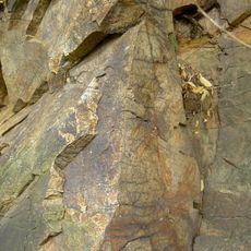
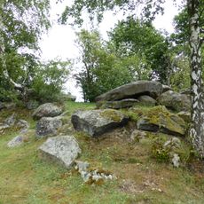
The castle stands on the Pfahl, a roughly 150-kilometer-long vein of quartz that shapes the geology of the area. This natural foundation once gave the site an alternative name, Lichtenstein, referring to the light-colored quartz minerals beneath it.
The community of curious travelers
AroundUs brings together thousands of curated places, local tips, and hidden gems, enriched daily by 60,000 contributors worldwide.