
Wegkapelle, building in Kollnburg, Lower Bavaria, Germany
Location: Kollnburg
Address: Stadlfeld
GPS coordinates: 49.06571,12.83123
Latest update: August 1, 2025 08:46
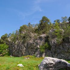
Pfahl
2.9 km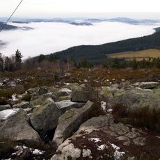
Käsplatte
3.5 km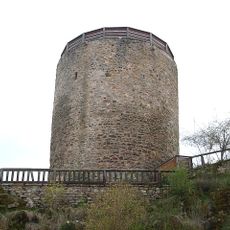
Burg Kollnburg
2.9 km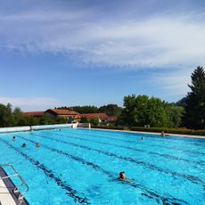
Freibad Viechtach
2.7 km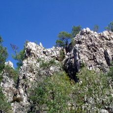
Pfahl Viechtach
2.9 km
Hl. Dreifaltigkeit (Kollnburg)
2.9 km
Christuskirche
3.8 km
Pfarrkirche St. Georg
3.1 km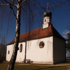
St. Antonius Viechtach
3.6 km
Kapelle
4.1 km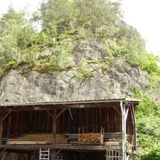
Ehemaliger Steinbruch
2.9 km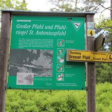
Großer Pfahl und Pfahlriegel St. Antoniuspfahl
2.9 km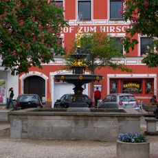
Marktbrunnen
4.3 km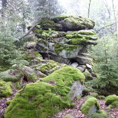
Bernhardsnagel
2.8 km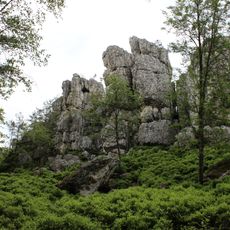
Großer Pfahl bei Viechtach
2.9 km
Mönchshofstraße 13
4.3 km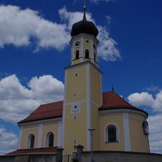
Mausohrkolonien im Naturraum Oberpfälzisch-Bayerischer Wald
4.1 km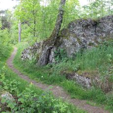
Antonius-Pfahl bei Viechtach
3.7 km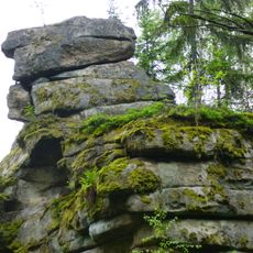
Teufelsmühle bei Oberstein
4.1 km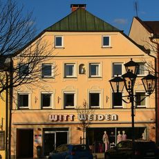
Schub-Haus
4.3 km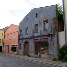
Linprunstraße 9
4.2 km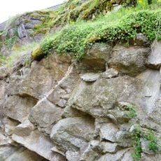
Gesteine am Burgberg in Kollnburg
2.9 km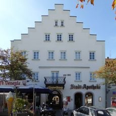
Stadtapotheke
4.3 km
Eckhaus
4.3 km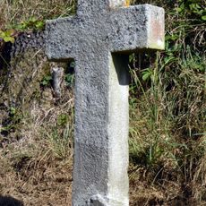
Sogenanntes Weißes Kreuz
3.8 km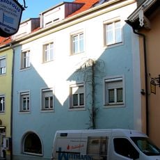
Ehemaliges Landrichterhaus
4.2 km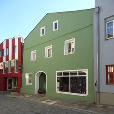
Wohnhaus mit Flachsatteldach
4.2 km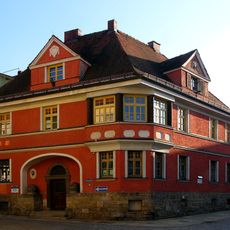
Ringstraße 15
4.2 kmReviews
Visited this place? Tap the stars to rate it and share your experience / photos with the community! Try now! You can cancel it anytime.
Discover hidden gems everywhere you go!
From secret cafés to breathtaking viewpoints, skip the crowded tourist spots and find places that match your style. Our app makes it easy with voice search, smart filtering, route optimization, and insider tips from travelers worldwide. Download now for the complete mobile experience.

A unique approach to discovering new places❞
— Le Figaro
All the places worth exploring❞
— France Info
A tailor-made excursion in just a few clicks❞
— 20 Minutes