
Totenbrettergruppe, 20. Jahrhundert; südlich an der Straße
Location: Rinchnach
Address: an der Straße
GPS coordinates: 48.93880,13.18968
Latest update: April 24, 2025 05:22
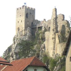
Weißenstein Castle
3.8 km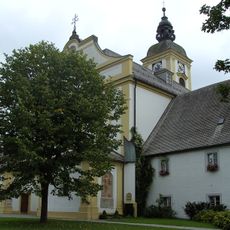
Rinchnach Priory
1.4 km
Stadtpfarrkirche St. Michael (Regen)
5.7 km
Heilig-Geist-Kirche
5.6 km
Gsengetstein
5.1 km
Cultural heritage D-2-7044-0001 in Bischofsmais
6.1 km
Heilig-Geist-Spitalkirche in Regen
5.5 km
St. Gotthard (Kirchberg im Wald)
4 km
Katholische Stadtpfarrkirche St. Michael
5.7 km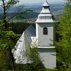
Mariä Geburt, Frauenbrünnl
4.1 km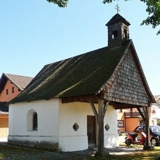
Ortskapelle
5.3 km
Kapellenbau
3.7 km
Ortskapelle
5 km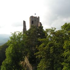
Pfahl bei der Ruine Weißenstein
3.9 km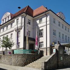
Niederbayerisches Landwirtschaftsmuseum
5.9 km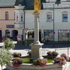
Mariensäule
5.8 km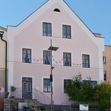
Wohnhaus
5.8 km
Stadtplatz 7
5.8 km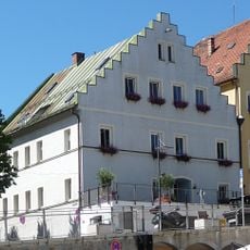
Verkehrsamt
5.8 km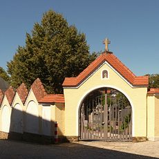
Friedhof
5.9 km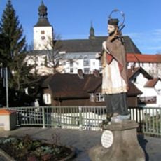
Steinstandbild St. Johann v. Nepomuk
5.6 km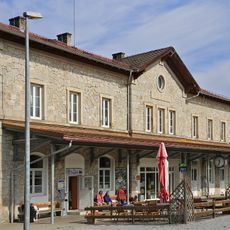
Station building at Regen station
5.1 km
Todtenau und Gföhretwiesen bei Zell
5.7 km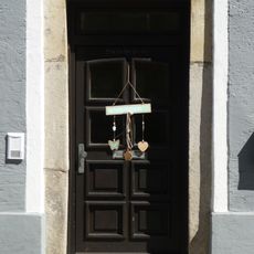
Steinerner Türsturz
5.8 km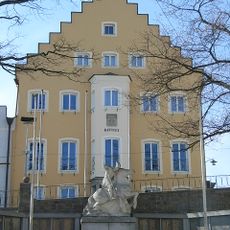
Rathaus
5.8 km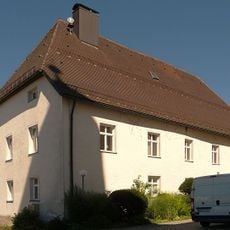
Pfarrhof
5.7 km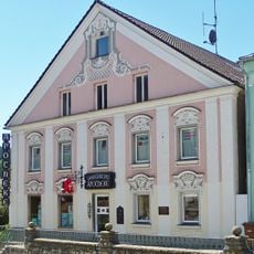
Apotheke
5.8 km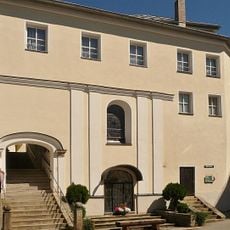
Gedeckte Steintreppe
5.7 kmReviews
Visited this place? Tap the stars to rate it and share your experience / photos with the community! Try now! You can cancel it anytime.
Discover hidden gems everywhere you go!
From secret cafés to breathtaking viewpoints, skip the crowded tourist spots and find places that match your style. Our app makes it easy with voice search, smart filtering, route optimization, and insider tips from travelers worldwide. Download now for the complete mobile experience.

A unique approach to discovering new places❞
— Le Figaro
All the places worth exploring❞
— France Info
A tailor-made excursion in just a few clicks❞
— 20 Minutes