
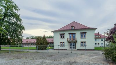
Coswig Industriestraße 9, Sozialgebäude einer Fabrik – interessant gestalteter Putzbau mit Dachreiter, im Stil der Nationalen Bautradition der 1950er Jahre, baugeschichtlich und ortsgeschichtlich von Bedeutung
Location: Coswig
Inception: 1950
Address: Industriestraße 9
GPS coordinates: 51.12860,13.56845
Latest update: April 19, 2025 18:20
Alte Kirche (Coswig)
798 m
Karrasburg
727 m
Coswig Grenzstraße 33
727 m
Coswig Karrasstraße 6
713 m
Coswig Grenzstraße 49
575 m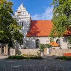
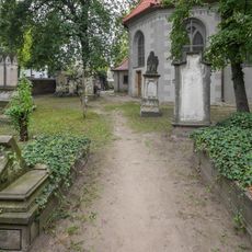
Kirche, dazu Kriegerdenkmal am Kirchhof, einige Grabsteine und Einfriedung (Einzeldenkmal zu ID-Nr. 09303459) Ravensburger Platz -
798 m
Karrasburg Museum Coswig
758 m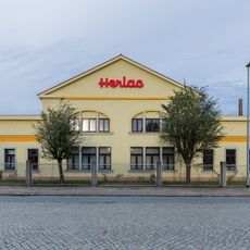
Coswig Industriestraße 28; 30; 32
568 m
Coswig Dresdner Straße 132; 134a; 134b
592 m
Coswig Ravensburger Platz 6
851 m
Mauerreste einer Burganlage Karrasstraße 4 (hinter)
701 m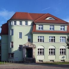
Coswig Karrasstraße 3
806 m
Coswig Hauptstraße 19
823 m
Coswig Am Güterbahnhof 6
725 m
Coswig Hauptstraße 31
837 m
Coswig Beethovenstraße 3
619 m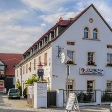
Coswig Hauptstraße 25
828 m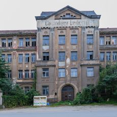
Coswig Industriestraße 25
367 m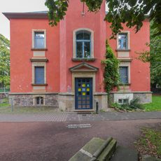
Coswig Kirchstraße 5
768 m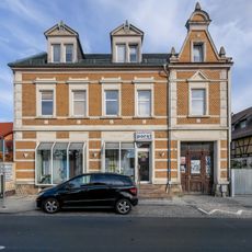
Coswig Hauptstraße 40
856 m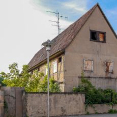
Coswig Hauptstraße 39
849 m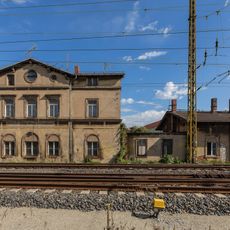
Coswig Kötitzer Straße 10
812 m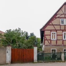
House Ravensburger Platz 5
853 m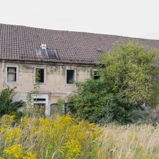
Coswig Dresdner Straße 68
724 m
Coswig Am Güterbahnhof 17
637 m
Coswig Am Güterbahnhof 16
605 m
Coswig Hauptstraße 29
810 m
Coswig Ravensburger Platz 11
773 mVisited this place? Tap the stars to rate it and share your experience / photos with the community! Try now! You can cancel it anytime.
Discover hidden gems everywhere you go!
From secret cafés to breathtaking viewpoints, skip the crowded tourist spots and find places that match your style. Our app makes it easy with voice search, smart filtering, route optimization, and insider tips from travelers worldwide. Download now for the complete mobile experience.

A unique approach to discovering new places❞
— Le Figaro
All the places worth exploring❞
— France Info
A tailor-made excursion in just a few clicks❞
— 20 Minutes