
Selbitz, municipality of Germany
Location: Hof
Elevation above the sea: 520 m
Shares border with: Berg, Leupoldsgrün
Address: Bahnhofstraße 2 95152
Website: https://selbitz.de
GPS coordinates: 50.31667,11.75000
Latest update: March 3, 2025 00:16


Verklärung Christi
3.6 km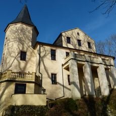
Schloss
3 km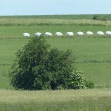
Wildapfelbaum
3.1 km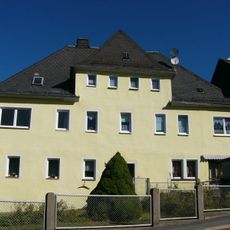
Schloss
327 m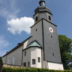
Parish church Leupoldsgrün
4.5 km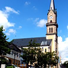
Stadtkirche St. Veit
3.3 km
Parish church Selbitz
204 m
Turmhügel Rodesgrün
2.3 km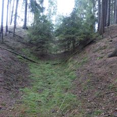
Burgstall
2.6 km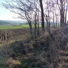
Burgstall Rodesgrün
1.8 km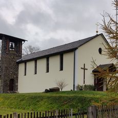
Maria Hilf
727 m
Friedhofskapelle Selbitz
408 m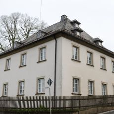
Pfarrhaus
4.6 km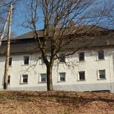
Hammergut
4.1 km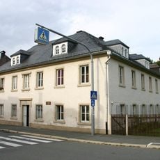
Forstamt
3.5 km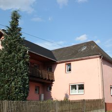
Cultural heritage D-4-75-171-8 in Selbitz (Oberfranken)
2.2 km
Türrahmung
3.3 km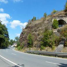
Profil am Tunnelfelsen Weidesgrün
2 km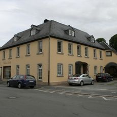
Wohnhaus
3.2 km
Baudenkmal
3.5 km
Aufschluss der Teuschnitzer Schichten am Bahnhof Naila
3 km
Rathaus
3.3 km
Wappen
2.7 km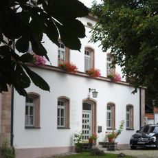
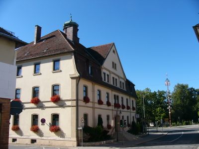
Pfarrhaus
177 m
Bildstock
3 km
Evangelisch
3.3 km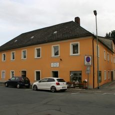
Wohnhaus
3.2 km
Bahnbrücke
2.6 kmVisited this place? Tap the stars to rate it and share your experience / photos with the community! Try now! You can cancel it anytime.
Discover hidden gems everywhere you go!
From secret cafés to breathtaking viewpoints, skip the crowded tourist spots and find places that match your style. Our app makes it easy with voice search, smart filtering, route optimization, and insider tips from travelers worldwide. Download now for the complete mobile experience.

A unique approach to discovering new places❞
— Le Figaro
All the places worth exploring❞
— France Info
A tailor-made excursion in just a few clicks❞
— 20 Minutes