
Großrinderfeld, municipality in Germany
Location: Tauberbischofsheim VVG
Location: Main-Tauber-Kreis
Elevation above the sea: 311 m
Website: http://grossrinderfeld.de
GPS coordinates: 49.66472,9.73472
Latest update: March 7, 2025 06:21
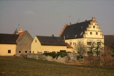
Burg Krense
4.6 km
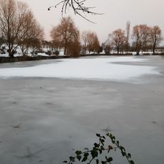
Blutsee-Moor
9.7 km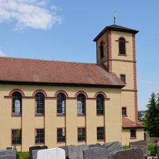
Pfarrkirche
7.2 km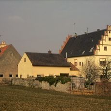
Schloss Schönfeld
4.8 km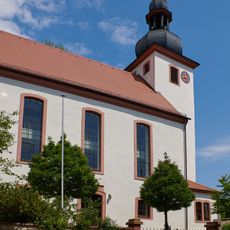
St. Martin (Unteraltertheim)
6.5 km
Synagoge
4.6 km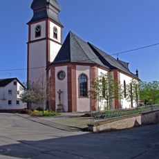
St. Michael
121 m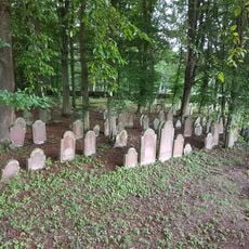
Jüdischer Friedhof Wenkheim
4.3 km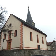
St. Johannes der Täufer
5.9 km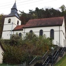
St. Laurentius
3.3 km
St. Vitus
5 km
Marienkapelle
2.2 km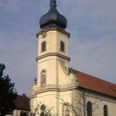
St. Laurentius
4.1 km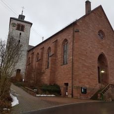
St. Maria
4.4 km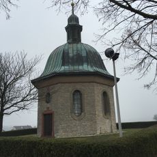
Maria Königin des Friedens
5.6 km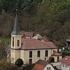
St. Michael
3.5 km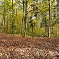
Nordöstliches Tauberland
2.2 km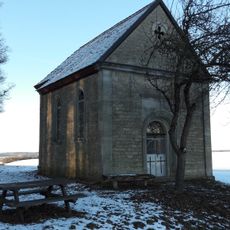
Kreuzkapelle
6 km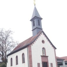
Friedhofskapelle
322 m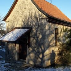
Hofkapelle
6.7 km
Beund
4.9 km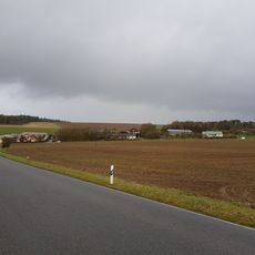
Siedlung Mehlen
2.8 km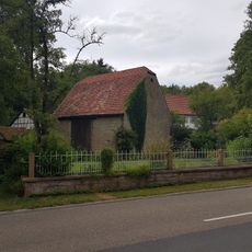
Seemühle
4.9 km
Altertheimer Weg
6.2 km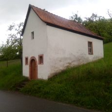
14-Heiligen-Kapelle
3.1 km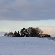
Siedlung
7 km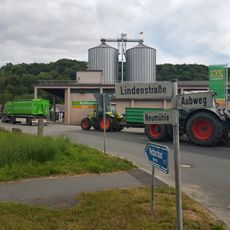
Neumühle
4.4 km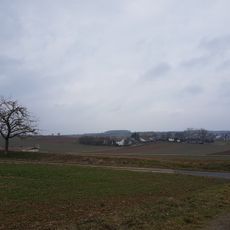
Siedlung
769 mVisited this place? Tap the stars to rate it and share your experience / photos with the community! Try now! You can cancel it anytime.
Discover hidden gems everywhere you go!
From secret cafés to breathtaking viewpoints, skip the crowded tourist spots and find places that match your style. Our app makes it easy with voice search, smart filtering, route optimization, and insider tips from travelers worldwide. Download now for the complete mobile experience.

A unique approach to discovering new places❞
— Le Figaro
All the places worth exploring❞
— France Info
A tailor-made excursion in just a few clicks❞
— 20 Minutes