Klosterberg, Mountain summit in Bautzen District, Germany
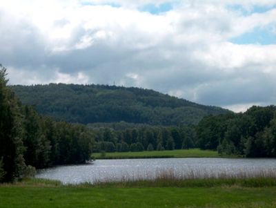
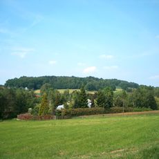
Klosterberg is a mountain summit in the Bautzen area that rises to 394 meters and stands out in the eastern German lowlands. The mountain has a distinctive profile that shapes the landscape and is visible from many different approaches.
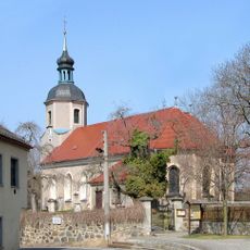
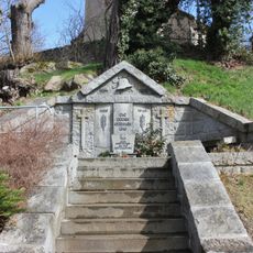
The mountain took its name from religious communities that settled in this region during earlier times. This monastic past left lasting marks on the area and shaped local identity.
The name references medieval monastic presence in the region, and this connection remains visible in how locals refer to the mountain today. Hikers sense this historical context as they climb, gaining insight into the religious roots woven into the landscape.
Several marked hiking trails lead to the summit, and parking is available at the base of the mountain. The routes vary in difficulty, so walkers of different experience levels can find a suitable path.
The mountain carries two names and reveals the region's cultural diversity: it is called Klosterberg in German but Pinč in Upper Sorbian. This dual naming reflects how different communities have historically shared this landscape.
The community of curious travelers
AroundUs brings together thousands of curated places, local tips, and hidden gems, enriched daily by 60,000 contributors worldwide.