
Bach an der Donau, municipality of Germany
Location: Regensburg
Elevation above the sea: 334 m
Part of: Verwaltungsgemeinschaft Donaustauf
Website: http://bach-donau.de
GPS coordinates: 49.02083,12.30389
Latest update: March 3, 2025 02:25
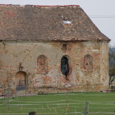
Burgstall Auburg
2 km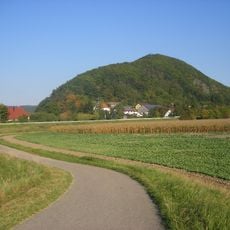
Scheuchenberg
3.6 km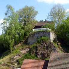
Burgstall Oberlichtenwald
5 km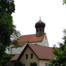
St. Martin
4.7 km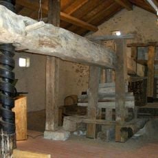
Baierwein-Museum
672 m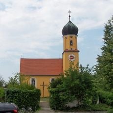
Mariä Himmelfahrt
5.3 km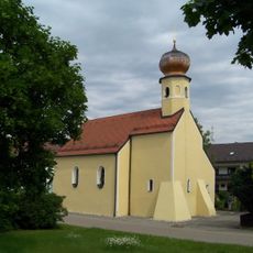
St. Bartholomäus
1.4 km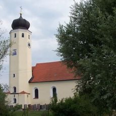
Kath. Filialkirche St. Maria
2.1 km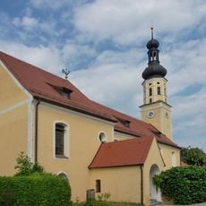
St. Martin (Illkofen)
1.1 km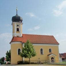
St. Laurentius (Eltheim)
4 km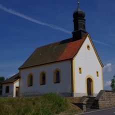
Katholische Nebenkirche Herz-Jesu
5.4 km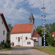
Kath. Filialkirche St. Stephan
1.7 km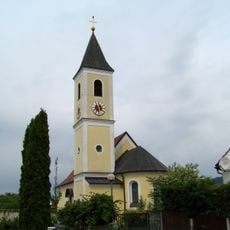
St. Andreas
2.9 km
Kath. Pfarrkirche Pfarrkirche Mariä Himmelfahrt
5.3 km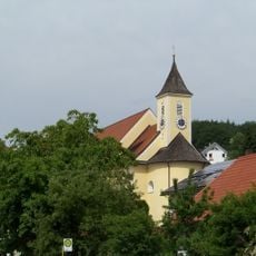
Mariä Geburt
51 m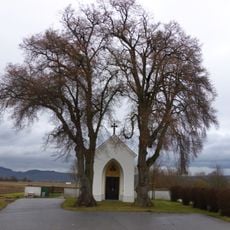
Wegkapelle Eltheim
3.5 km
Walhalla
5.9 km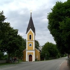
Kath. Filialkirche St. Matthäus
2.7 km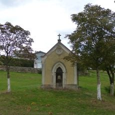
Hofkapelle 14 Nothelfer
3.4 km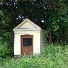
Wegkapelle
5.3 km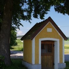
Wegkapelle
3.3 km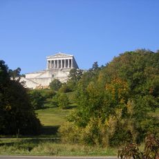
Trockenhänge am Donaurandbruch
2.6 km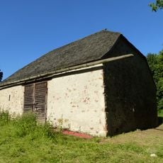
Stadel, sog. Popenstadel oder Bütthaus
5.5 km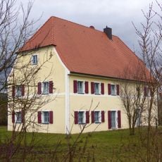
Pfarrhaus
5.6 km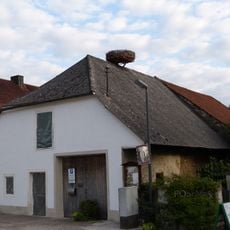
Wohnhaus
42 m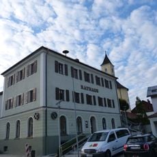
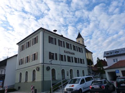
Ehemaliges Schulhaus, jetzt Rathaus
42 m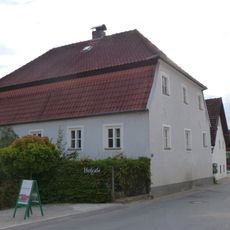
Wohnhaus eines ehemaligen Dreiseithofes
22 m
Wohnstallhaus mit Stadel
2.3 kmVisited this place? Tap the stars to rate it and share your experience / photos with the community! Try now! You can cancel it anytime.
Discover hidden gems everywhere you go!
From secret cafés to breathtaking viewpoints, skip the crowded tourist spots and find places that match your style. Our app makes it easy with voice search, smart filtering, route optimization, and insider tips from travelers worldwide. Download now for the complete mobile experience.

A unique approach to discovering new places❞
— Le Figaro
All the places worth exploring❞
— France Info
A tailor-made excursion in just a few clicks❞
— 20 Minutes