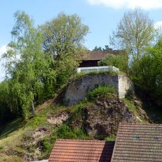
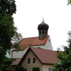
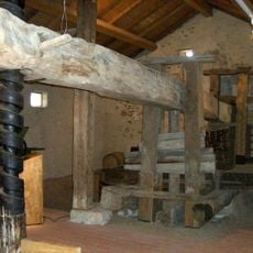
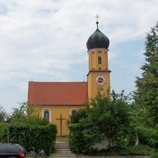
Scheuchenberg, Mountain summit in Bavaria, Germany
Scheuchenberg is a wooded ridge 537 metres high, running east to west on the Donaurandbruch near Donaustauf in the district of Regensburg. It lies in the parishes of Sulzbach an der Donau, Demling and the Forstmühler Forst. The village of Sulzbach an der Donau sits at its western foot, the village of Bach an der Donau at its eastern foot.
The Scheuchenberg lies on the Donaurandbruch, the fault line along the southern edge of the Bavarian Forest, and its ridge forms part of the boundary between the Gemarkungen of Sulzbach an der Donau, Demling and the Forstmühler Forst. The wooded ridge, 537 m high, rises above the villages of Sulzbach an der Donau at its western foot and Bach an der Donau at its eastern foot. The sources record no older historical events for the ridge itself.
The name Scheuchenberg derives from the German verb scheuchen, to scare off or drive away, a name type also found on other German ridges. The wooded ridge lies in the Gemarkungen of Sulzbach an der Donau, Demling and the Forstmühler Forst, with the villages of Sulzbach an der Donau at its western foot and Bach an der Donau at its eastern foot.
The ridge runs east to west, with the village of Sulzbach an der Donau at its western foot and Bach an der Donau at its eastern foot. Access is on foot through the surrounding forest; the villages on either side are the starting points. The terrain is wooded throughout, so orientation by landmarks is limited.
The ridge runs east to west and reaches 537 metres, not the higher figure sometimes given. Its wooded crest lies at the Donaurandbruch, a geological fault line by Donaustauf in the Landkreis Regensburg, and the villages of Sulzbach an der Donau and Bach an der Donau sit at its western and eastern feet.
The community of curious travelers
AroundUs brings together thousands of curated places, local tips, and hidden gems, enriched daily by 93,788 contributors worldwide.