
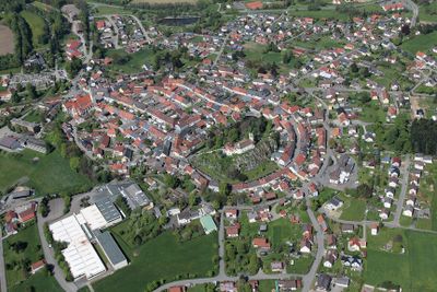
Pleystein, municipality of Germany
Location: Neustadt an der Waldnaab
Elevation above the sea: 548 m
Part of: Verwaltungsgemeinschaft Pleystein
Shares border with: Georgenberg, Waldthurn, Waidhaus
Website: http://pleystein.de
GPS coordinates: 49.65000,12.41667
Latest update: March 5, 2025 21:26
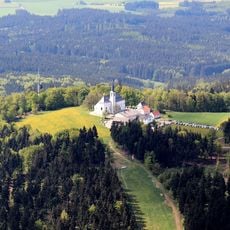
Fahrenberg
4.2 km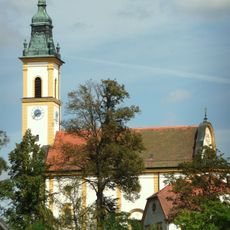
Wallfahrtskirche Heiligkreuz
564 m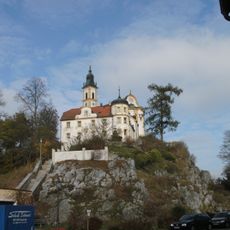
Kreuzberg in Pleystein
564 m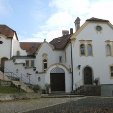
Kloster auf dem Kreuzberg in Pleystein
590 m
Alte Dorfkapelle Lohma
3.4 km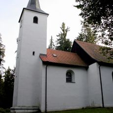
St. Ulrich (Burkhardsrieth)
5.5 km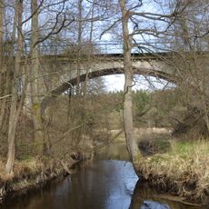
Zottbachbrücke
2.8 km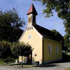
Dorfkapelle
4.3 km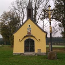
Kapelle Peugenhammer
1.8 km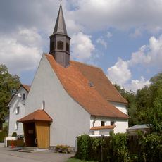
Dorfkapelle Lohma (Pleystein)
3.4 km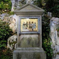
Kreuzwegstationen
554 m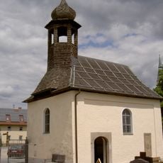
Friedhofskapelle (Pleystein)
1 km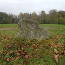
Steinkreuz bei der Kapelle Peugenhammer
1.8 km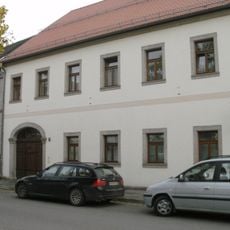
Pleystein Marktplatz 15
789 m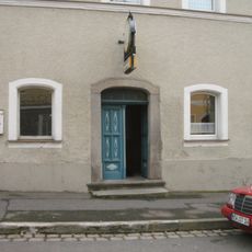
Pleystein Marktplatz 19
825 m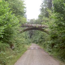
Wegbrücke im Kühlbühl
2.5 km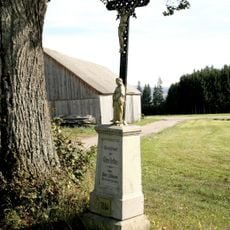
Wegkreuz
4.3 km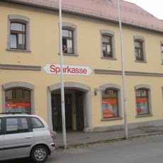
Traufseithaus
808 m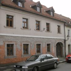
Pleystein Marktplatz 21
810 m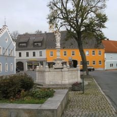
Holztor
694 m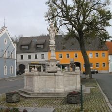
Kriegerdenkmal
730 m
Friedhof Pleystein
1.1 km
Schaftbildstock Lohma
3.1 km
Eisenkreuz bei der Kapelle Peugenhammer
1.8 km
Pauschkreuz
4.6 km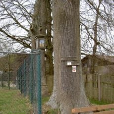
Fuchsn-Marterl Braunetsried
4.7 km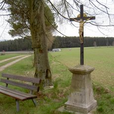
Delling-Kreuz Braunetsried
4.8 km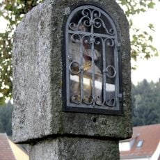
Bildstock
4.5 kmReviews
Visited this place? Tap the stars to rate it and share your experience / photos with the community! Try now! You can cancel it anytime.
Discover hidden gems everywhere you go!
From secret cafés to breathtaking viewpoints, skip the crowded tourist spots and find places that match your style. Our app makes it easy with voice search, smart filtering, route optimization, and insider tips from travelers worldwide. Download now for the complete mobile experience.

A unique approach to discovering new places❞
— Le Figaro
All the places worth exploring❞
— France Info
A tailor-made excursion in just a few clicks❞
— 20 Minutes