
Salgen, municipality of Germany
Location: Unterallgäu
Elevation above the sea: 558 m
Part of: Verwaltungsgemeinschaft Pfaffenhausen
Website: https://salgen.de
GPS coordinates: 48.13333,10.48333
Latest update: March 5, 2025 07:46

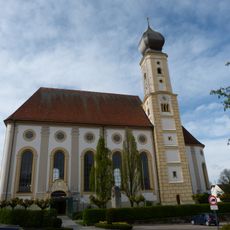
St. Stephan
2.5 km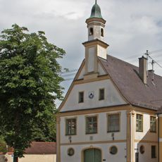
Altes Rathaus
2.6 km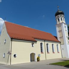
St. Johannes Baptist (Salgen)
513 m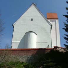
St. Georg (Mörgen)
2.4 km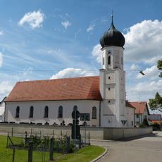
St. Bartholomäus und Hl. Kreuz
2.9 km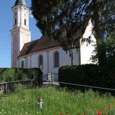
St. Margareta (Egelhofen)
4.5 kmGasthof zur Krone
2.6 km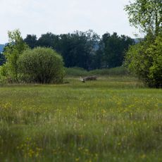
Pfaffenhauser Moos
2.6 km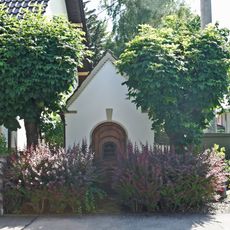
St. Ulrich
2.4 km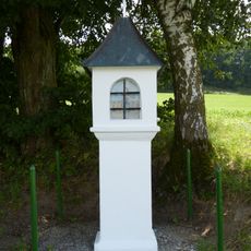
Bildstock
2 km
Pflegamtshaus
2.8 km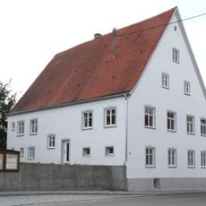
Pfarrhaus ehem.
2.4 km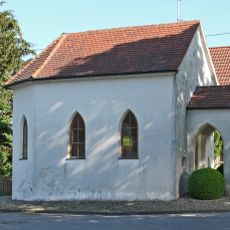
Kapelle Mariahilf
3.4 km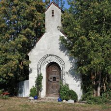
Privatkapelle
2.3 km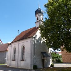
Unserer Lieben Frau
1.2 km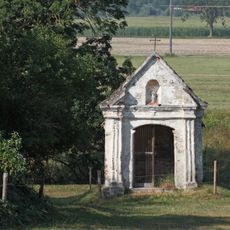
Feldkapelle
2.1 km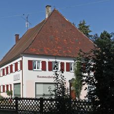
Wohn- und Geschäftshaus
2.6 km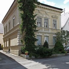
Wohnhaus
2.5 km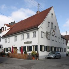
Gasthaus
2.5 km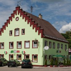
Gasthaus zum Kreuz
2.4 km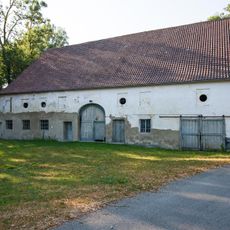
Anlageteil
190 m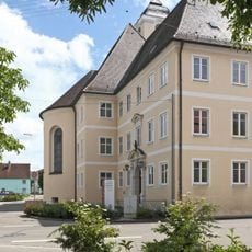
Ehemaliges Priesterseminar
2.5 km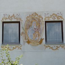
Fresko
554 m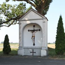
Bildstock
1.1 km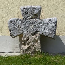
Steinkreuz
705 m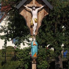
Kruzifix und Mater Dolorosa
845 m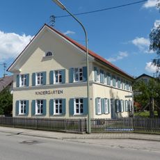
Ehemaliges Pfarrhaus
451 m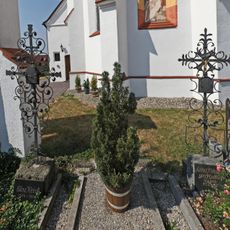
Zwei Grabkreuze
2.4 kmVisited this place? Tap the stars to rate it and share your experience / photos with the community! Try now! You can cancel it anytime.
Discover hidden gems everywhere you go!
From secret cafés to breathtaking viewpoints, skip the crowded tourist spots and find places that match your style. Our app makes it easy with voice search, smart filtering, route optimization, and insider tips from travelers worldwide. Download now for the complete mobile experience.

A unique approach to discovering new places❞
— Le Figaro
All the places worth exploring❞
— France Info
A tailor-made excursion in just a few clicks❞
— 20 Minutes