Unterallgäu, Rural district in southern Bavaria, Germany
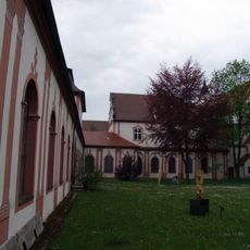
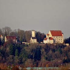
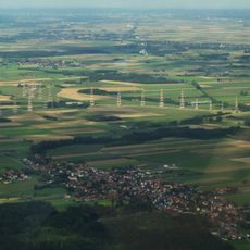
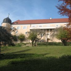
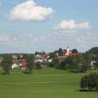
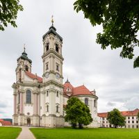
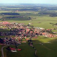
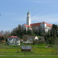
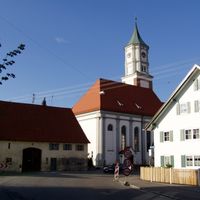
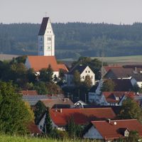
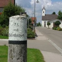
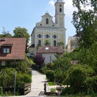
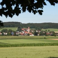
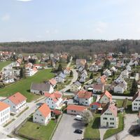
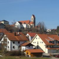
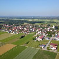
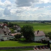
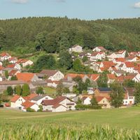
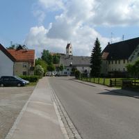
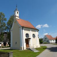
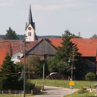
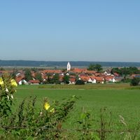
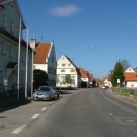
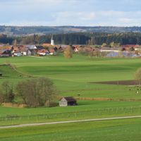
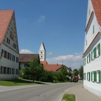
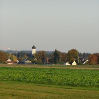
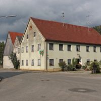
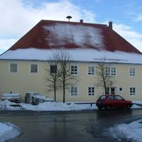
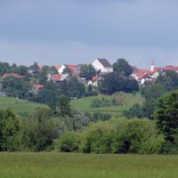
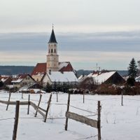
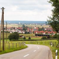
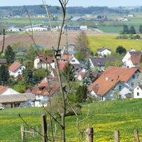
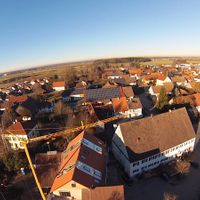
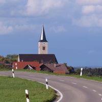
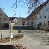
Unterallgäu is a rural administrative region in southern Bavaria situated between alpine foothills and flatter terrain. The landscape contains forests, meadows, farmland, and gentle hills where 52 municipalities are spread across the countryside.
This administrative region took its current form in 1972 when two earlier districts were merged together. The reorganization was part of a larger reform that reshaped many boundaries across Bavaria.
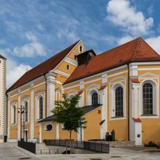
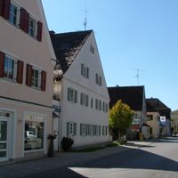
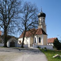
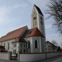
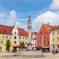
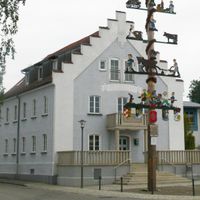
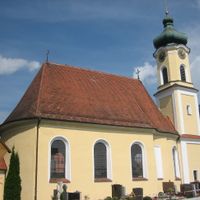
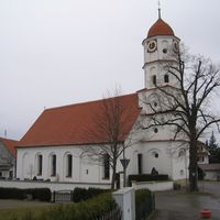
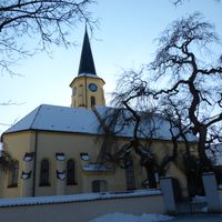
Local craftsmanship and farmers' markets remain part of daily life in the towns and villages, where you see handmade goods and regional products regularly. These traditions stay alive through regular markets and village celebrations that happen throughout the year.
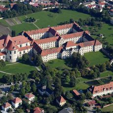
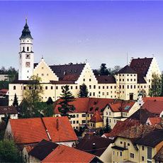
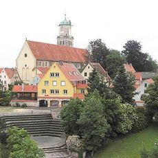
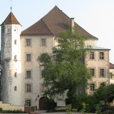
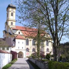
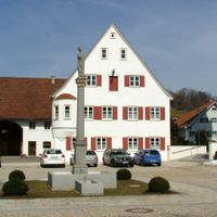
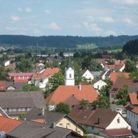
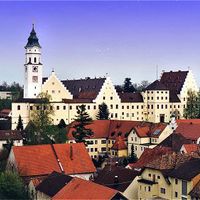
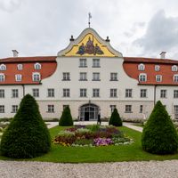
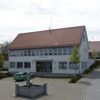
Mindelheim, the largest town, serves as the administrative center where you can find government offices and services. Train and bus connections link this area to Munich and other major Bavarian cities.
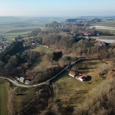
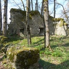
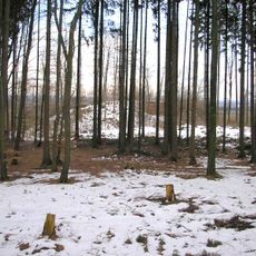
The Ungerhauser Forest contains natural rock formations shaped by ancient glaciers that you encounter while hiking through the landscape. These ice-age features create an interesting backdrop for walking paths across the region.
Location: Swabia
Inception: July 1, 1972
Capital city: Mindelheim
Part of: Region Donau-Iller
Shares border with: Neu-Ulm, Günzburg, Augsburg, Ostallgäu, Oberallgäu, Memmingen, Biberach district, Landkreis Ravensburg
Website: https://unterallgaeu.de
GPS coordinates: 48.00000,10.50000
Latest update: December 14, 2025 20:46
Cultural heritage D-7-7829-0028 in Tussenhausen
12.8 km
Ottobeuren Abbey
16.4 km
Therme Bad Wörishofen
7.2 km
Skyline Park
8.3 km
Fuggerschloss Babenhausen
24.2 km
Irsee Abbey
11.4 km
Basilika Ottobeuren
16.4 km
Eisstadion Kaufbeuren
16.7 km
Buxheim Charterhouse
27.3 km
Mindelburg
4.3 km
St. Martin
24 km
Sky Wheel
8.8 km
Hohes Schloss
25.2 km
Schloss Kirchheim in Schwaben
19.2 km
Our women
23.7 km
Wertachtal transmitter site
17.4 km
Mariä Verkündigung
5.2 kmMuseum für zeitgenössische Kunst – Diether Kunerth
16.3 km
Schloss Kronburg
27.5 kmVöhlinschloß
38 km
Maria Steinbach
29.7 km
Schloss Günzach
20.4 km
Organs of St. Martin
24 km
Castle Rothenstein
26.9 km
Schwäbisches Bauernhofmuseum Illerbeuren
30 km
St. Josef
24.3 km
St. Ulrich
24 km
Haldenburg
24 kmVisited this place? Tap the stars to rate it and share your experience / photos with the community! Try now! You can cancel it anytime.
Ungerhauser Wald
Tussenhausen
Türkheim
Pfaffenhausen
Ottobeuren
Markt Wald
Markt Rettenbach
Legau
Kirchheim in Schwaben
Erkheim
Dirlewang
Bad Grönenbach
Babenhausen
Mindelheim
Bad Wörishofen
Ettringen
Eppishausen
Egg an der Günz
Buxheim
Breitenbrunn
Boos
Böhen
Benningen
Apfeltrach
Amberg
Lauben
Lachen
Kronburg
Kirchhaslach
Kettershausen
Kammlach
Holzgünz
Heimertingen
Hawangen
Fellheim
Stetten
Sontheim
Salgen
Rammingen
Pleß
Oberschönegg
Oberrieden
Niederrieden
Memmingerberg
Lautrach
Woringen
Wolfertschwenden
Winterrieden
Wiedergeltingen
Westerheim
Unteregg
Ungerhausen
Trunkelsberg
Discover hidden gems everywhere you go!
From secret cafés to breathtaking viewpoints, skip the crowded tourist spots and find places that match your style. Our app makes it easy with voice search, smart filtering, route optimization, and insider tips from travelers worldwide. Download now for the complete mobile experience.
A unique approach to discovering new places❞
— Le Figaro
All the places worth exploring❞
— France Info
A tailor-made excursion in just a few clicks❞
— 20 Minutes