Türkheim, market municipality in Bavaria, Germany
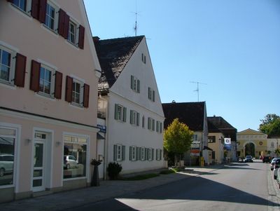
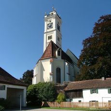
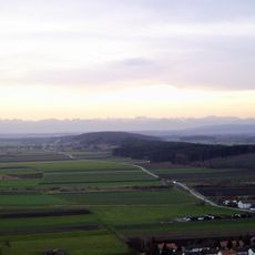
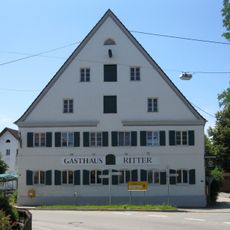
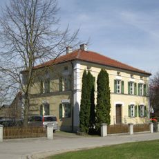
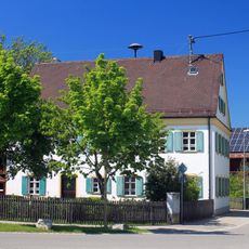
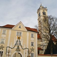
Türkheim is a small town in the Unterallgäu region surrounded by rolling hills, open fields, and thick forests. Its center features old timber-framed houses, narrow streets, and colorful facades, with two castles and Renaissance gardens as notable landmarks.
Türkheim was settled by Bronze Age peoples, Celts, and Romans before developing into a medieval town. The two castles were built over centuries and redesigned in 1682 and 1750, when elaborate gardens were added.
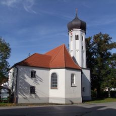
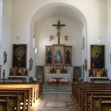
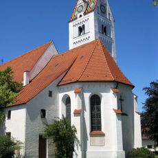
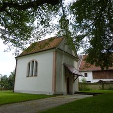
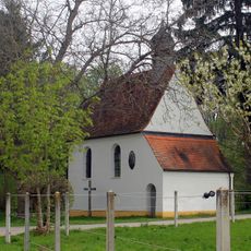
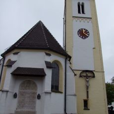
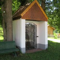
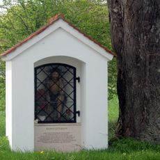
The name Türkheim reflects ancient settlement patterns in the region. Today, pilgrims moving through town on their way to Santiago de Compostela shape the pace and feel of the streets, stopping to rest in one of the eight local churches.
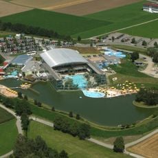
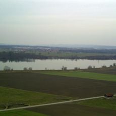
The town sits just a few kilometers from Memmingen and serves as a good starting point for exploring the surrounding Allgäu region with its mountains and lakes. Hiking trails suit all levels, cycling routes run along the Wertach River and through nearby forests, and thermal baths offer relaxation after a day of exploring.
Ludwig Aurbacher, born in 1784 in a small house in Türkheim, wrote the famous tale The Seven Swabians, which people still share today and is now displayed in the Seven-Swabians Museum housed in the Big Castle. His stories about ordinary life remain part of the town's cultural memory.
The community of curious travelers
AroundUs brings together thousands of curated places, local tips, and hidden gems, enriched daily by 60,000 contributors worldwide.