
Isterberg, municipality of Germany
Location: County of Bentheim
Location: Schüttorf
Elevation above the sea: 35 m
Website: http://www.isterberg.de
Shares border with: Bad Bentheim, Quendorf
Website: http://isterberg.de
GPS coordinates: 52.34889,7.14639
Latest update: April 4, 2025 14:55
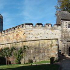
Burg Bentheim
5.2 km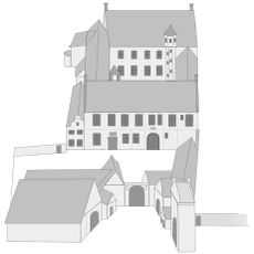
Burg Altena
6.3 km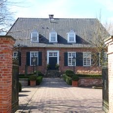
Gut Brandlecht
5.9 km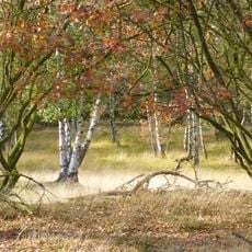
Tillenberge
6.1 km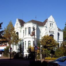
Villa Schlikker
6.2 km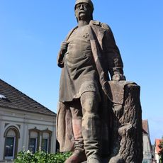
Bismarckdenkmal Bad Bentheim
5.3 km
Sandsteinmuseum Bad Bentheim
5.1 km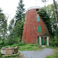
Lukasmühle
7 km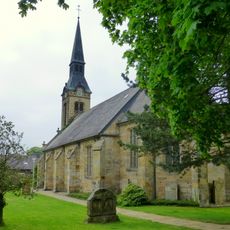
St. Johannes der Täufer
5.1 km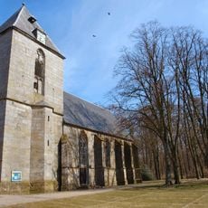
Evangelisch-reformierte Kirche
5.7 km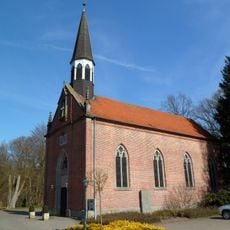
St. Marien
5.9 km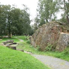
Naturdenkmal Bornhalmscher Steinbruch
6 km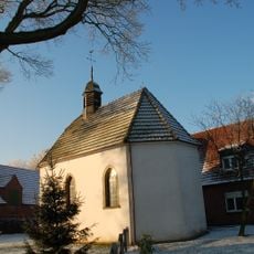
Kapelle Hesepe
7.8 km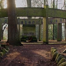
Hesepe war memorial
7.9 km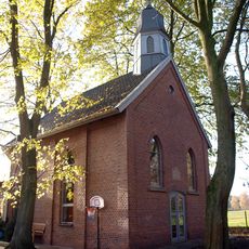
Kapelle Brandlecht
5.9 km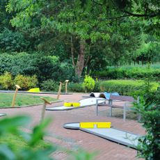
Minigolf
5 km
Ostmühle
6.9 km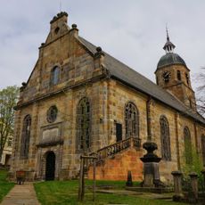
Evangelisch-reformierte Kirche
5.4 km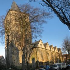
Saint Lawrence Church
6.1 km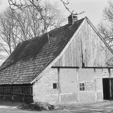
Erve Olde Möllink
6.7 km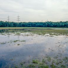
Ahlder Pool (Schwatte Venn)
8.3 km
Otto Pankok Museum
6.7 km
Mensmanweg 1, Beuningen
8.3 km
Grenspaal nr 24, bij boerderij haarjan-beuningerveld
5.2 km
St. Antonius
5.1 km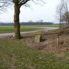
Grenspaal nr 20
7.5 km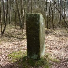
Grenspaal 23
5.7 km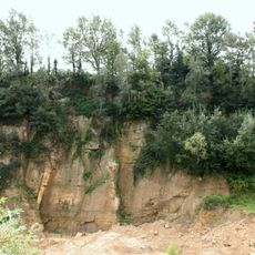
Steinbruch Romberg
5.9 kmReviews
Visited this place? Tap the stars to rate it and share your experience / photos with the community! Try now! You can cancel it anytime.
Discover hidden gems everywhere you go!
From secret cafés to breathtaking viewpoints, skip the crowded tourist spots and find places that match your style. Our app makes it easy with voice search, smart filtering, route optimization, and insider tips from travelers worldwide. Download now for the complete mobile experience.

A unique approach to discovering new places❞
— Le Figaro
All the places worth exploring❞
— France Info
A tailor-made excursion in just a few clicks❞
— 20 Minutes