County of Bentheim, Administrative district in Lower Saxony, Germany
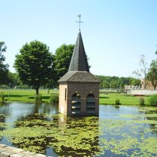
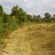
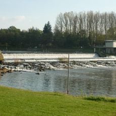
Bentheim County is an administrative district in Lower Saxony comprising several towns and villages spread across the rural landscape. The Vechte River runs through it from south to north, defining the geography of the area.
This county traces its boundaries back to the former Principality of Bentheim, which existed as an independent territory within the Holy Roman Empire until 1803. After that state dissolved, the region became part of Prussia and eventually Lower Saxony.
The local speech here carries Dutch influences from centuries of living next to the Netherlands. You'll notice these linguistic features especially in the smaller towns where people maintain older ways of speaking.
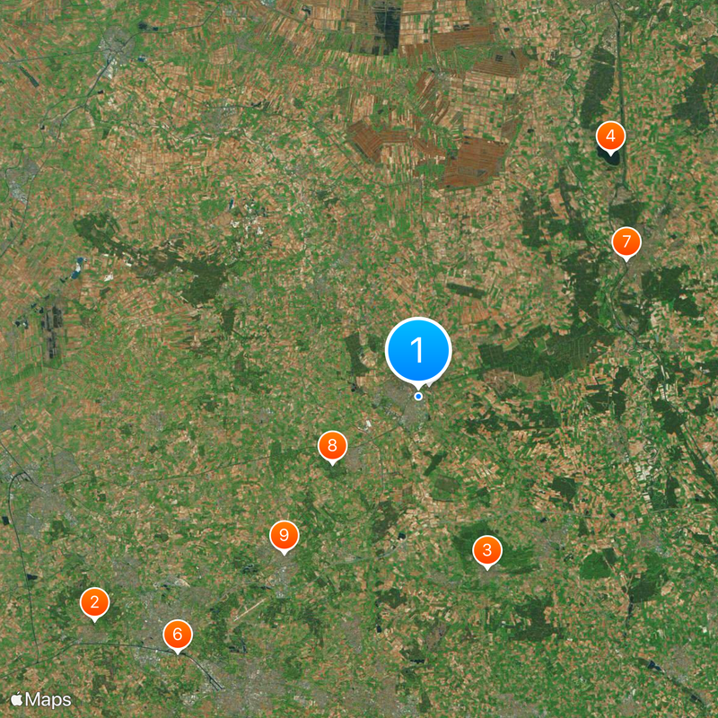
Nordhorn serves as the main administrative hub and the best place to find public services for the area. The district contains several towns within reasonable distance of each other, making travel between them straightforward.
The northeastern section of the district juts into Dutch territory and is surrounded by the provinces of Overijssel and Drenthe. This unusual shape developed from historical boundaries and makes the area a distinctive transition point between Germany and the Netherlands.
The community of curious travelers
AroundUs brings together thousands of curated places, local tips, and hidden gems, enriched daily by 60,000 contributors worldwide.