Gildehauser Venn, Nature reserve in Bad Bentheim, Germany.
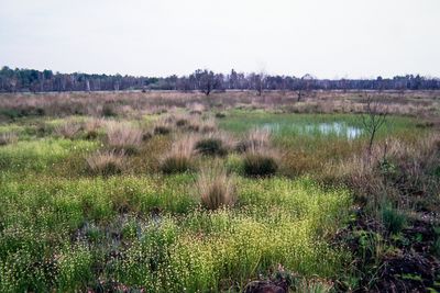
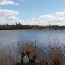
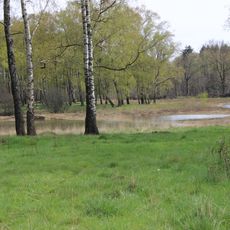
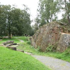
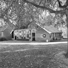
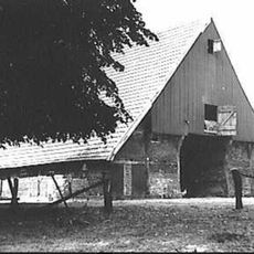
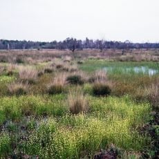
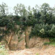
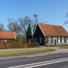
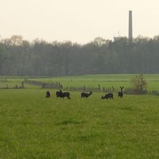
Gildehauser Venn is a 650-hectare nature reserve in northwest Lower Saxony featuring birch forests, peat pools, and sand ridges. The landscape includes open moorland with scattered water bodies and dune formations typical of this wetland ecosystem.
The area received protection status on 13 July 1985 to preserve the fragile wetland ecosystems of northwest Germany. This designation followed growing environmental awareness and marked a shift from historical peat extraction to conservation.
The name references the Dutch word 'venn' meaning moorland, reflecting the landscape shared across the border region. Visitors experience the characteristic wetland plants and wildlife while using the observation towers to watch waterfowl colonies.
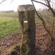
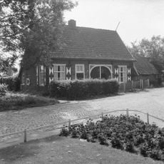
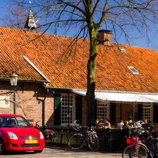
The reserve is accessible via Vennweg in Bad Bentheim with clearly marked walking paths of varying distances. Local tourism information provides guided tours and advice on the best times for bird watching.
The reserve hosts several carnivorous plant species including bladderwort and sundew, which trap insects using sticky tentacles along the paths. These rare plants thrive in the nutrient-poor, acidic peat waters.
Location: Bad Bentheim
Inception: July 13, 1985
GPS coordinates: 52.25560,7.09722
Latest update: December 12, 2025 14:25
Kloster Bardel
3.8 km
Oelemars
4.3 km
Lukasmühle
4.4 km
Kleingewässer Achterberg
3.4 km
Naturdenkmal Bornhalmscher Steinbruch
5.3 km
Hervormde Kerk
6.2 km
Ostmühle
4.2 km
Otto Pankok Museum
4.5 km
Raadhuisplein 6, Losser
6.2 km
Raadhuisplein 4, Losser
6.2 km
Grenzstein DE NL nr 3
3.7 km
Losser Textielfabriek
5.9 km
Grenzstein DE-NL 862.1
2.7 km
Beerninksweg 1, Overdinkel
4.7 km
Grenssteen met de wapens van Overijssel, het Bisdom Munster en het Graafschap Bentheim
2.7 km
Wiggersweg 1, Losser
6.2 km
Gildehauser Venn
134 m
Scholtinkstraat 5, Losser
6 km
Scholtinkstraat 7, Losser
6 km
Teylershuis
6.2 km
Klootschietersmonument
6 km
Aardappelkelder Ravenhorsterweg 3, Losser
5.4 km
Steinbruch Romberg
5.2 km
Hoofdstraat 1, Losser
5.3 km
Monument voor de Gevallenen
6.2 km
Terrein waarin een urnenveld
4.2 km
Bakstenen schoorsteenpijp met het jaartal 1926 ingemetseld in gele verblendsteen
5.9 kmVisited this place? Tap the stars to rate it and share your experience / photos with the community! Try now! You can cancel it anytime.
Discover hidden gems everywhere you go!
From secret cafés to breathtaking viewpoints, skip the crowded tourist spots and find places that match your style. Our app makes it easy with voice search, smart filtering, route optimization, and insider tips from travelers worldwide. Download now for the complete mobile experience.
A unique approach to discovering new places❞
— Le Figaro
All the places worth exploring❞
— France Info
A tailor-made excursion in just a few clicks❞
— 20 Minutes